10 miles – cloudy, wet, and windy, occasional sunshine
Before the Start
Wednesday 25th May 2022 dawned bright and clear.
I knew to get to the ferry early to ensure myself a place, as it only went once a day, at 9:00 a.m., and it wasn’t going again until the day after tomorrow. I lost one of my gaiters on the way to the ferry and didn’t dare go back to find it in case I arrived at the jetty too late. So instead, I abandoned my other one and hoped someone might find both and benefit from them. So I have still never worn gaiters in my life… Do they serve any practical purpose?
In fact, I was the first to arrive.
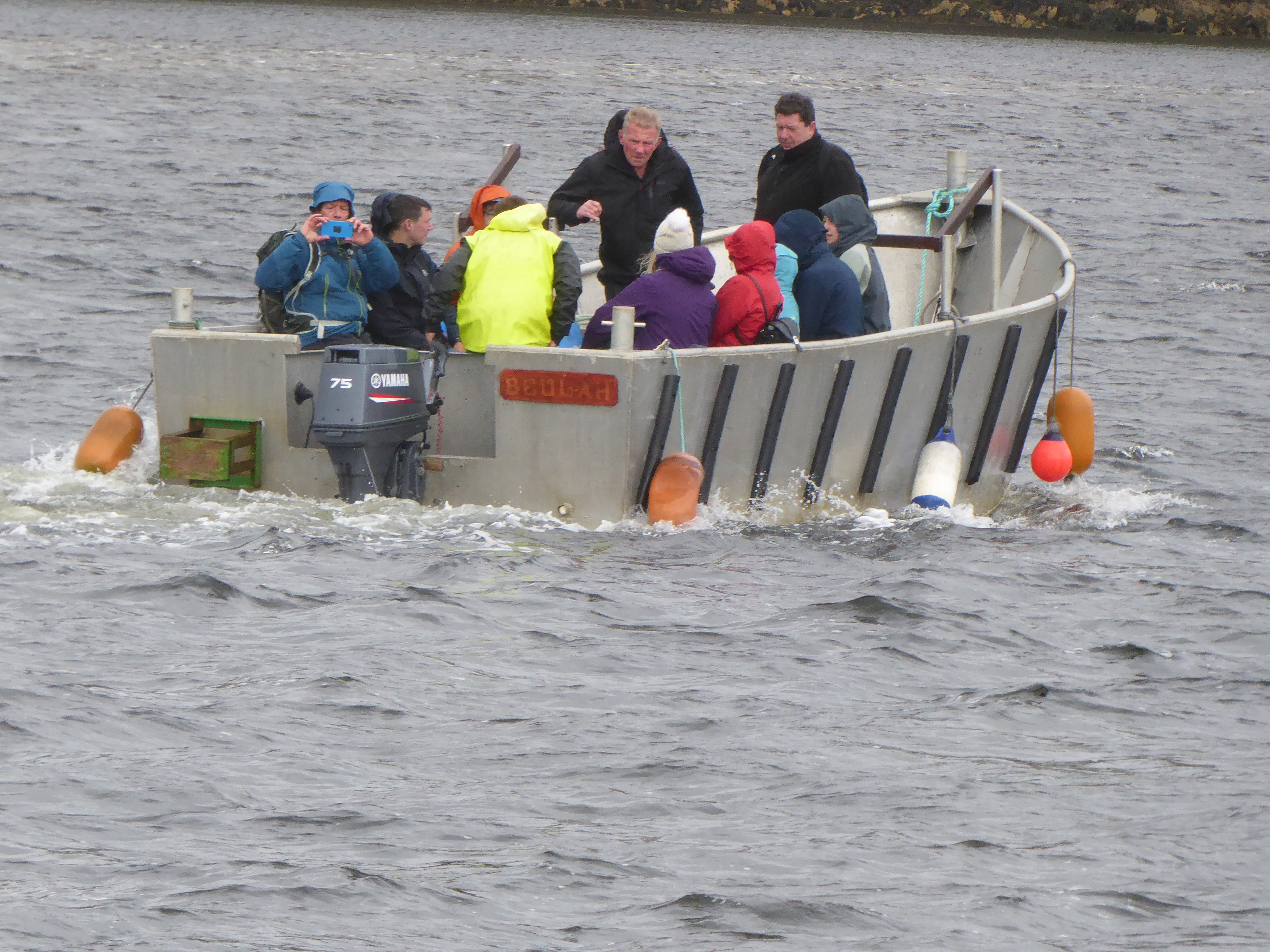
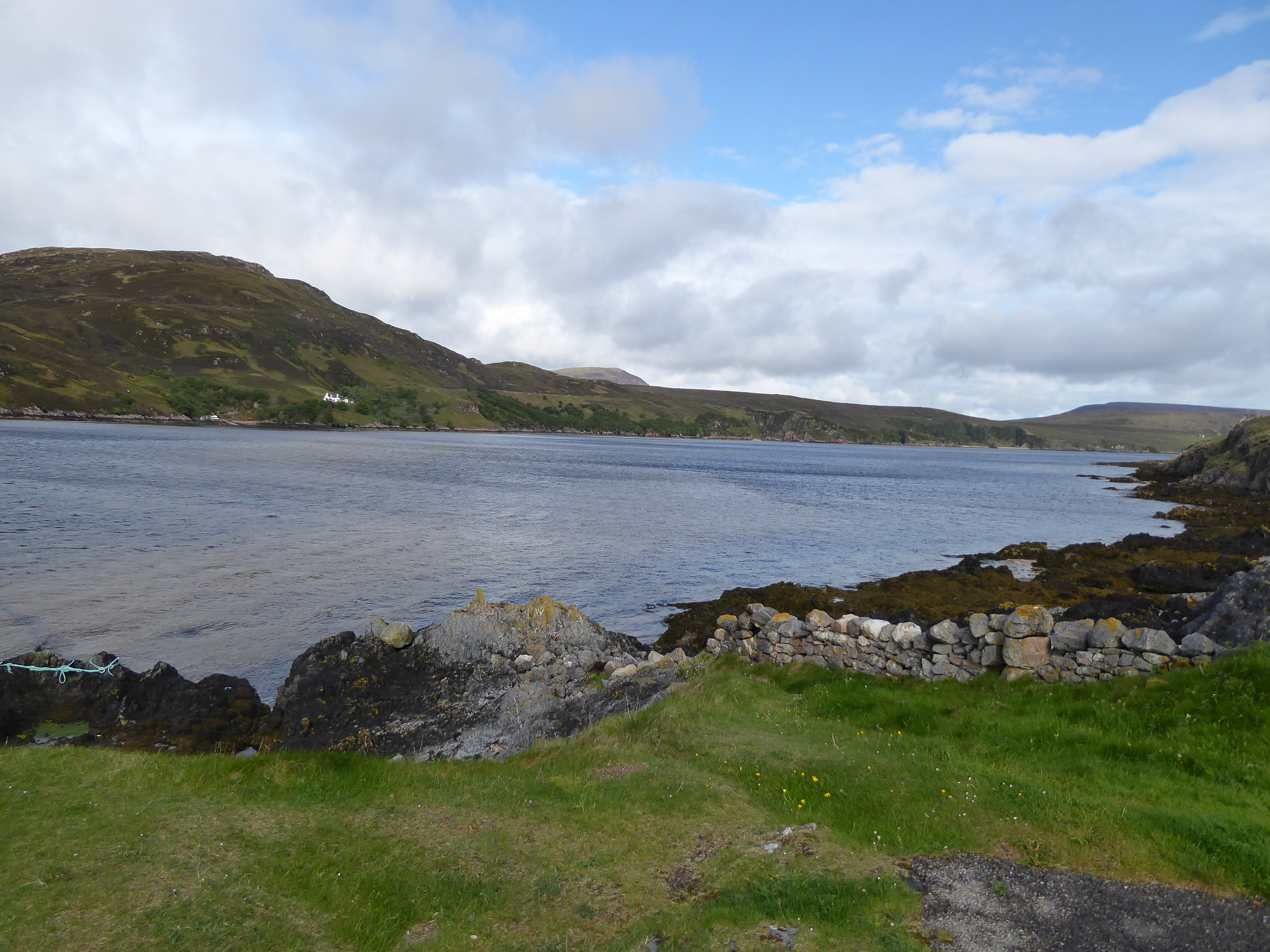
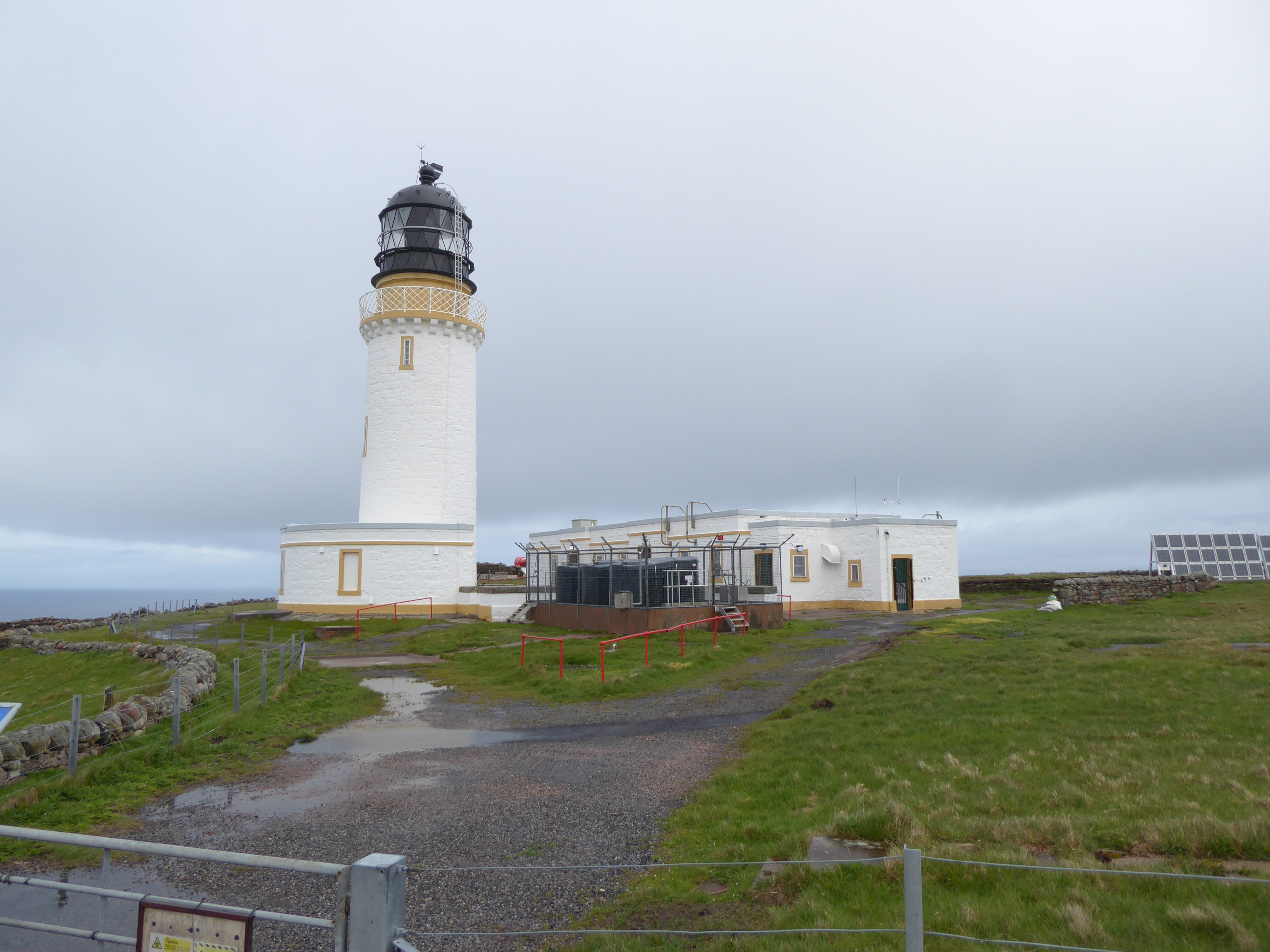
We were taken in a minibus from the other side of the loch to the Cape. The bus journey takes an hour at a top speed of 15 mph along a narrow, disintegrating road, with a humorous commentary on our surroundings too keep spirits up. I have to say that my heart leapt when I finally saw the Cape Wrath Lighthouse before me. It was for me a beacon of my wildest dreams, dreams which were about to turn into a reality.
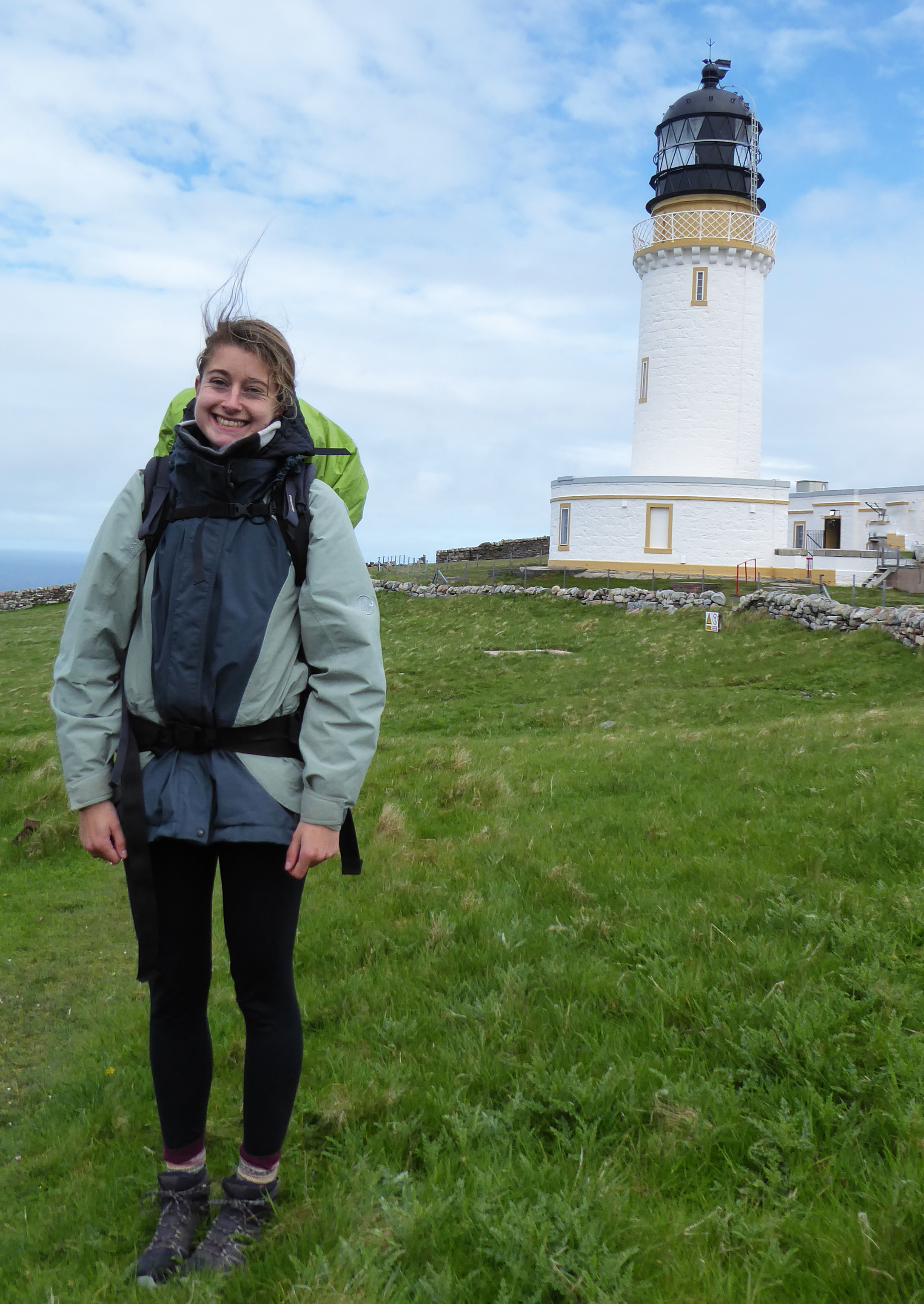
Cape Wrath
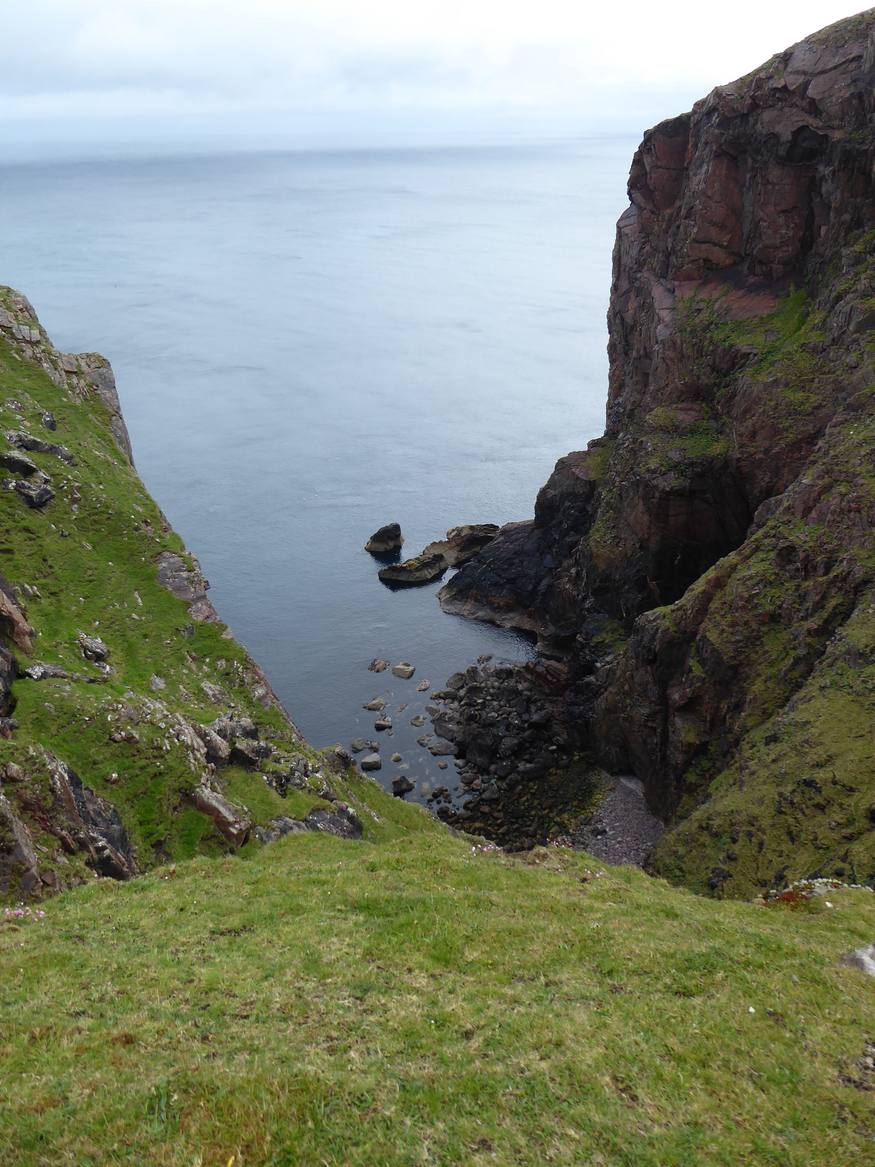
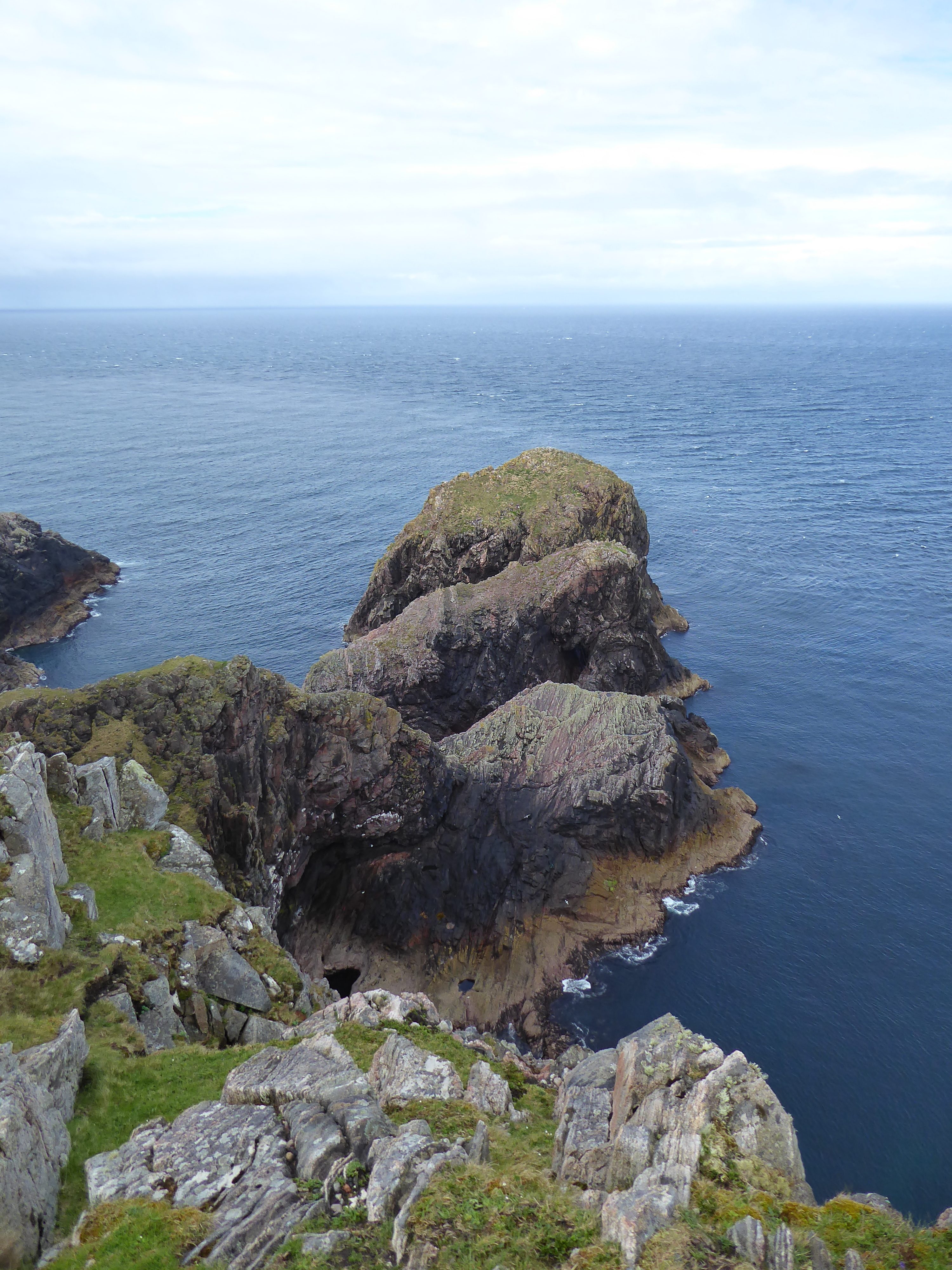
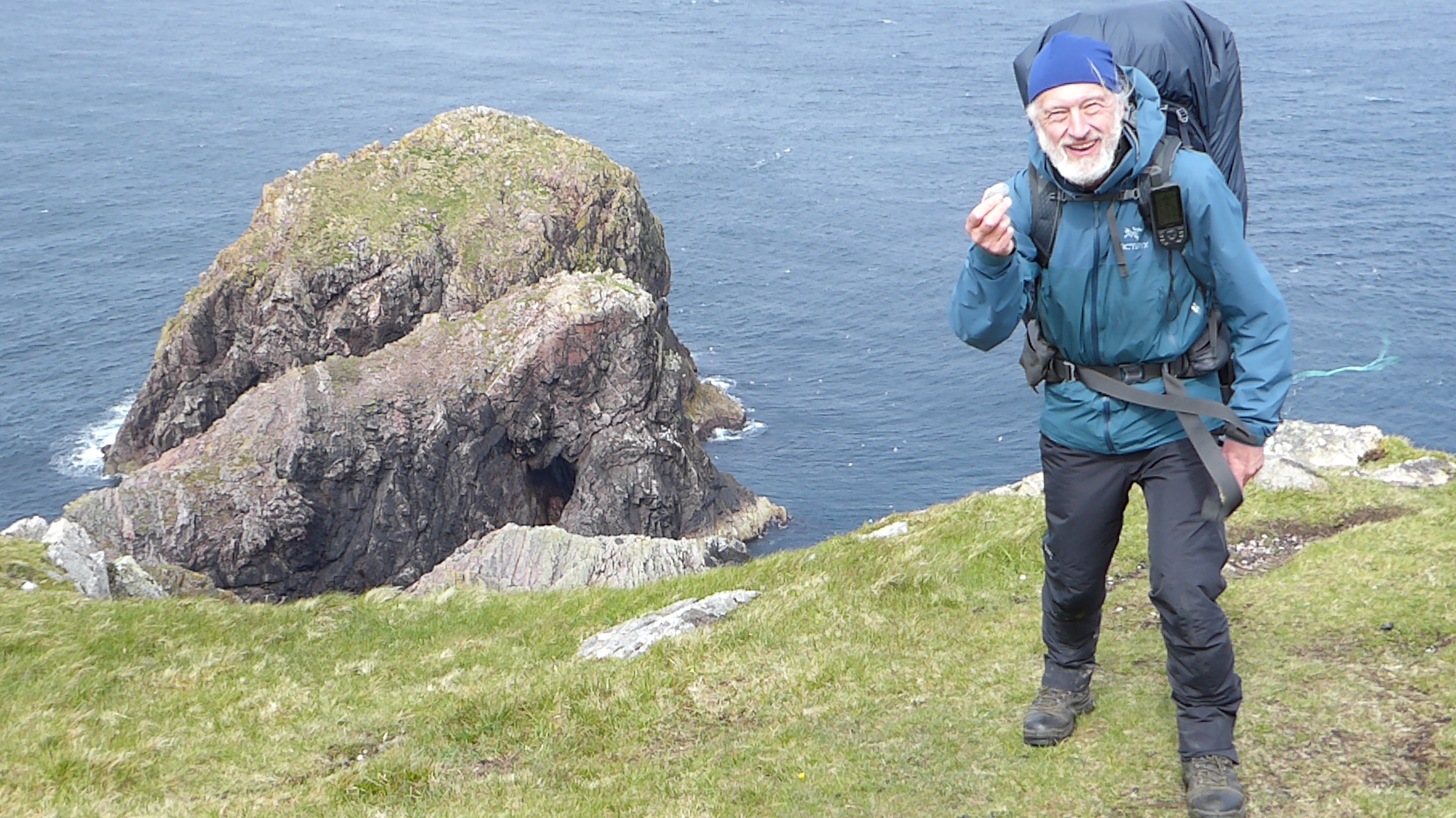
Cape Wrath is a spectacular place to start a walk from. Its cliffs are incredibly impressive, plunging vertically to the Atlantic Ocean 922 feet below.
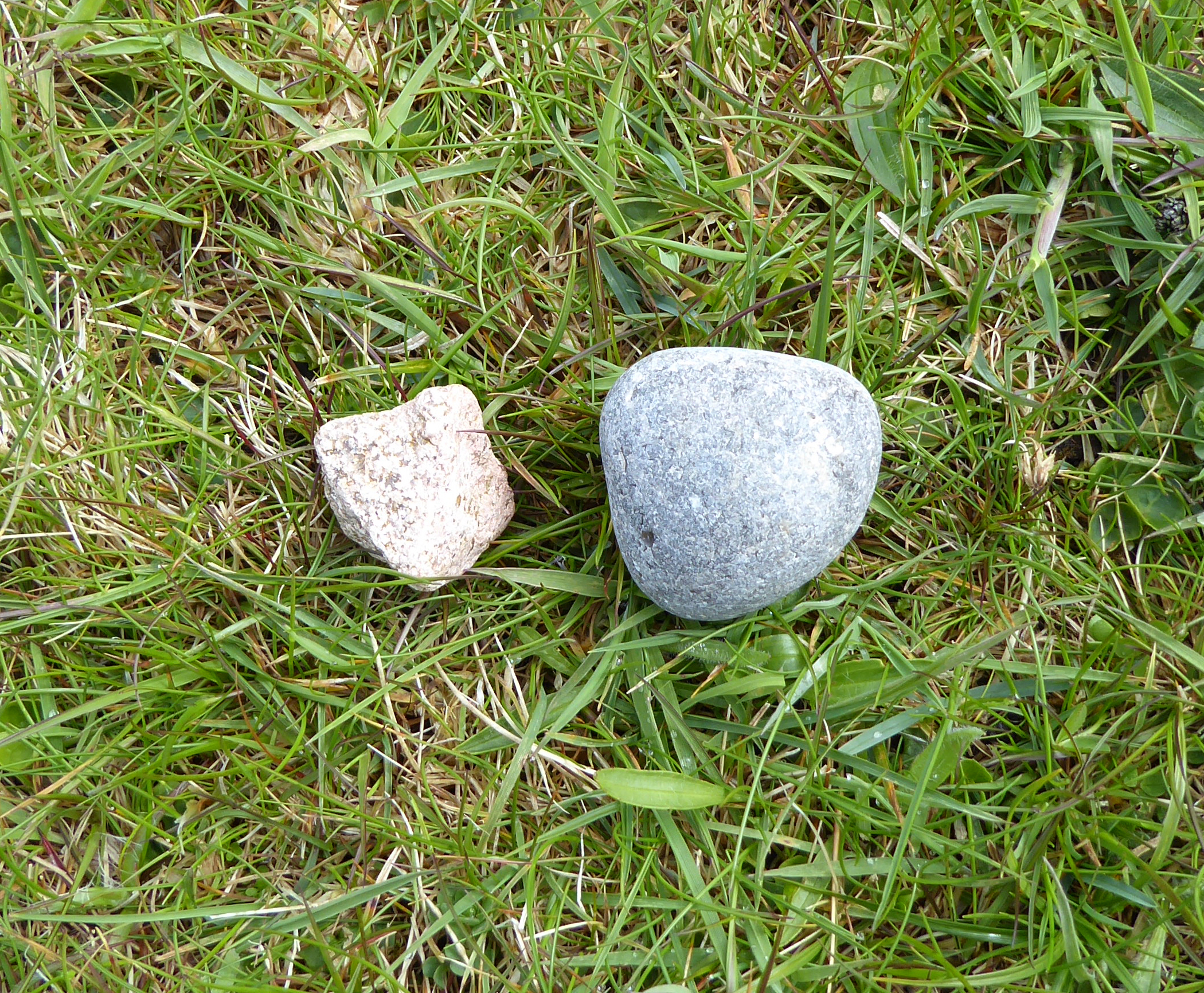
Rule 5, requiring me to leave a pebble here from Rock-a-Nore Beach and take a Cape Wrath pebble back to Rock-a-Nore, was most important, and I spent some time picking up a selection of suitable stones. I finally chose five, which I put in the left-hand rucksack belt pocket, there to remain until I reach my destination.
The Starting Point
I had a cheery start, with the passengers and driver of the bus from the Durness Ferry all wishing me well. One of them, Megan, a bright and spirited young woman, bothying alone, took the photos of me (below) and accompanied me on my first two miles.
And so, at 11:39 on 25th Maya 2022, I set off from Cape Wrath, the most northwesterly tip of the British mainland towards Hastings, my home, on the southeast coast of England. It’s a journey I anticipated to be 1,230 miles.
The first problem was that my GPS unit wasn’t able to load my route; this was potentially disastrous, although just today I could manage to navigate to the bothy quite easily, by aiming in approximately the right direction and compensating where necessary.
Here is the video of e first 45 seconds of my walk, filmed by Megan…
Cape Wrath to HASTINGS…
And so the journey began…
…And then wilderness…
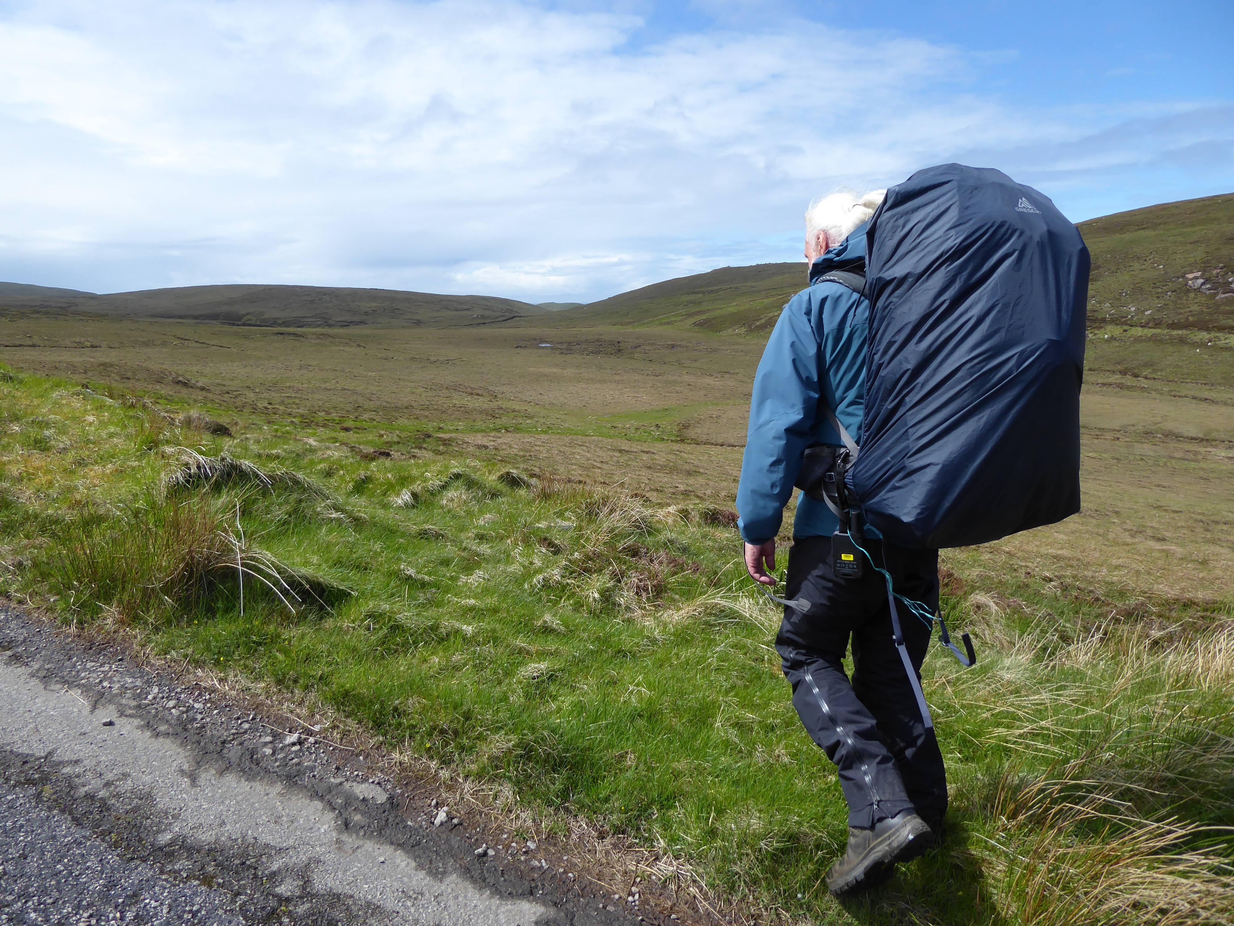
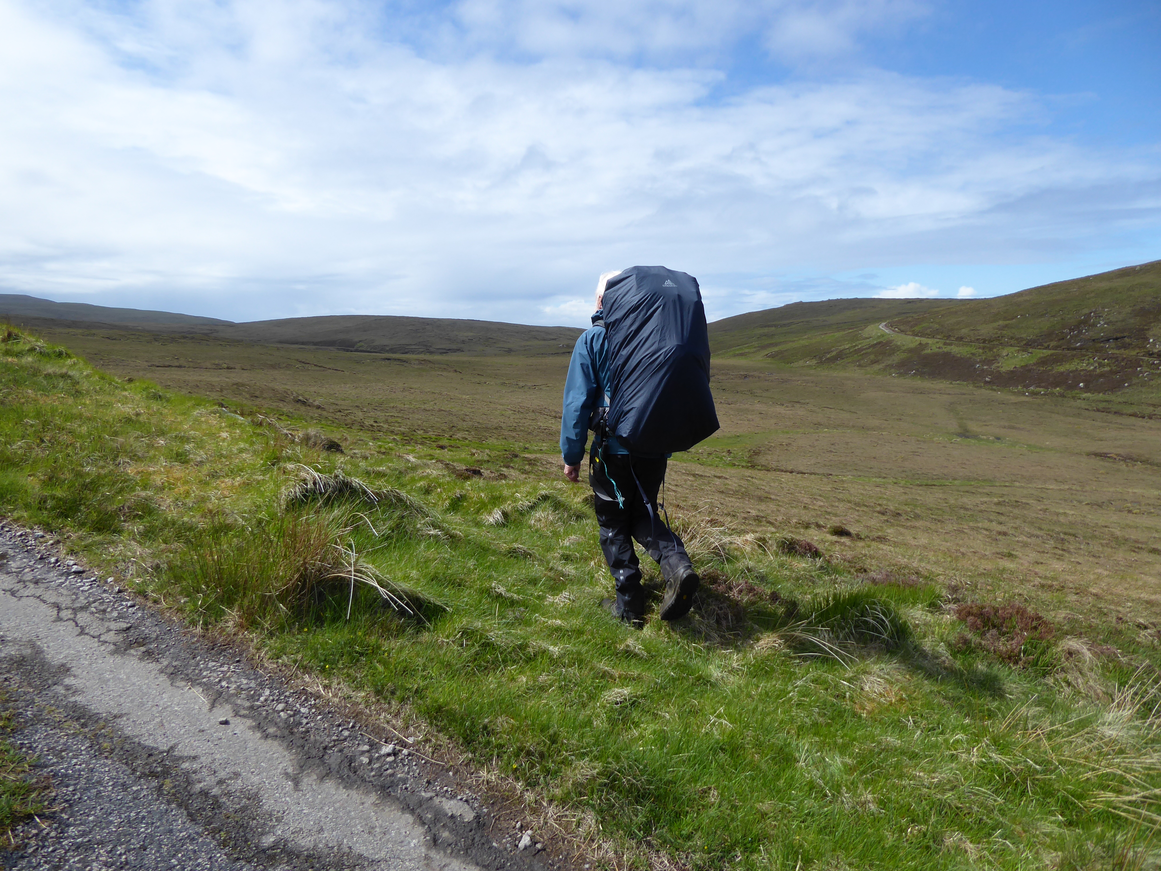
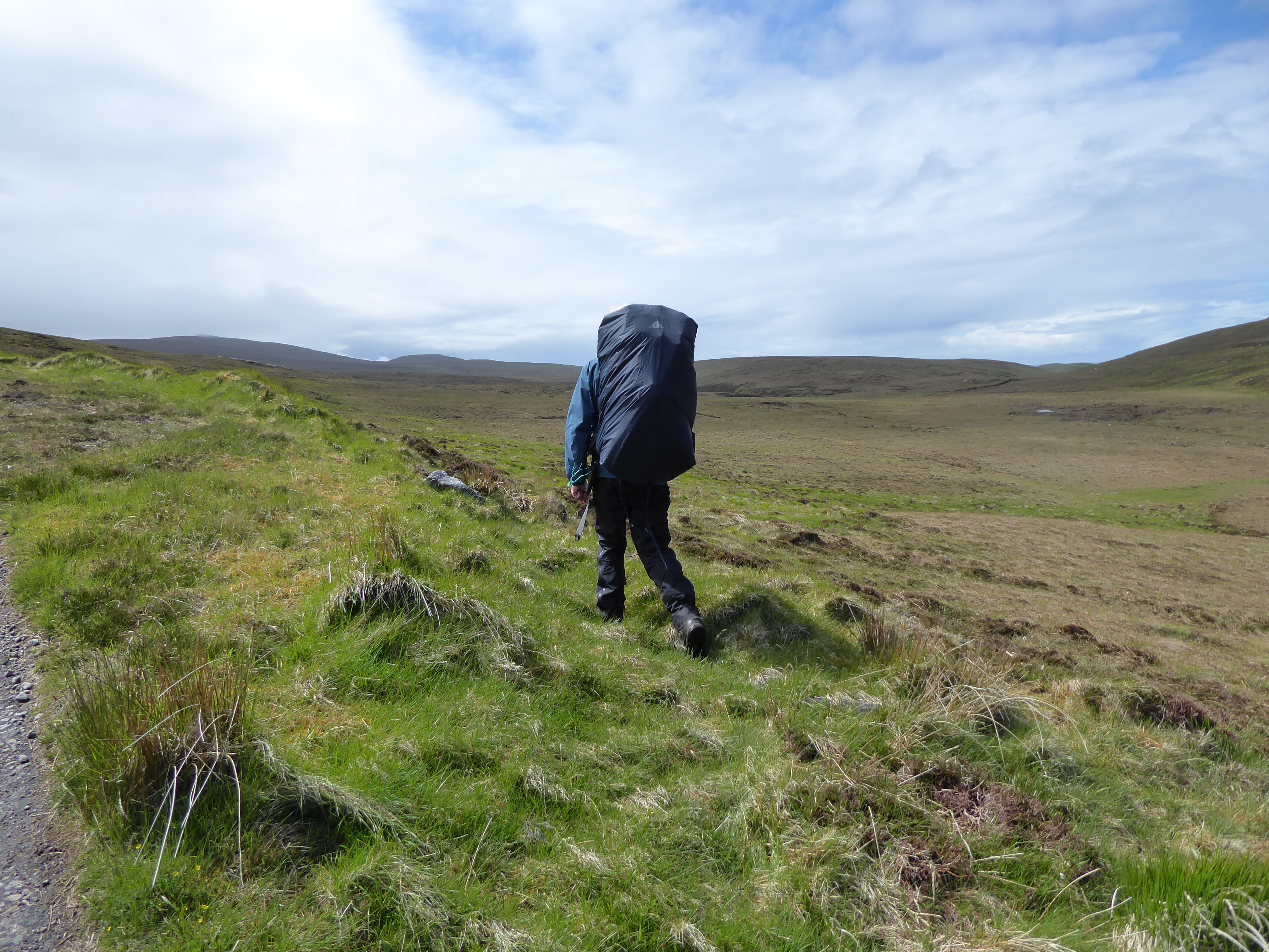
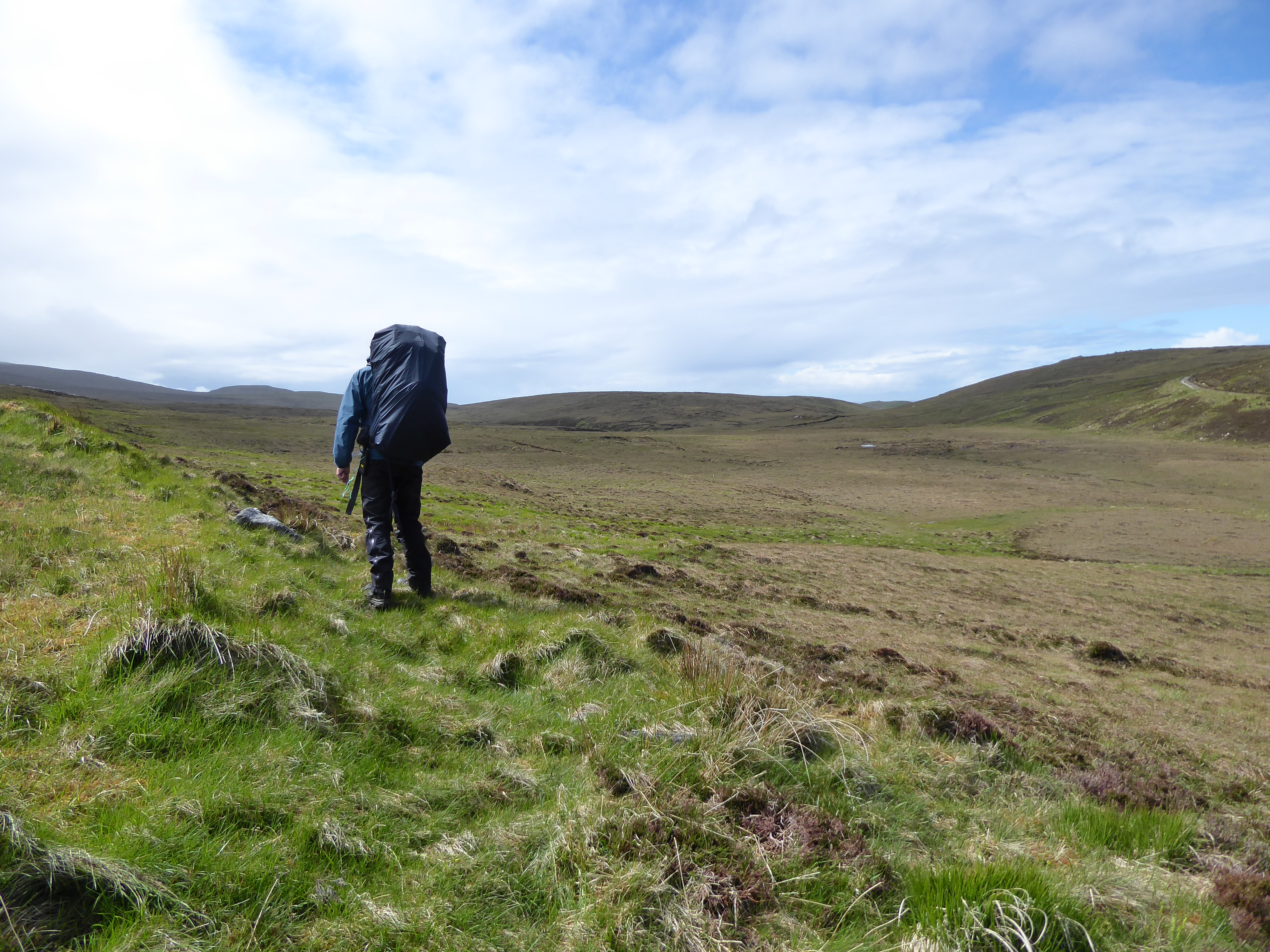
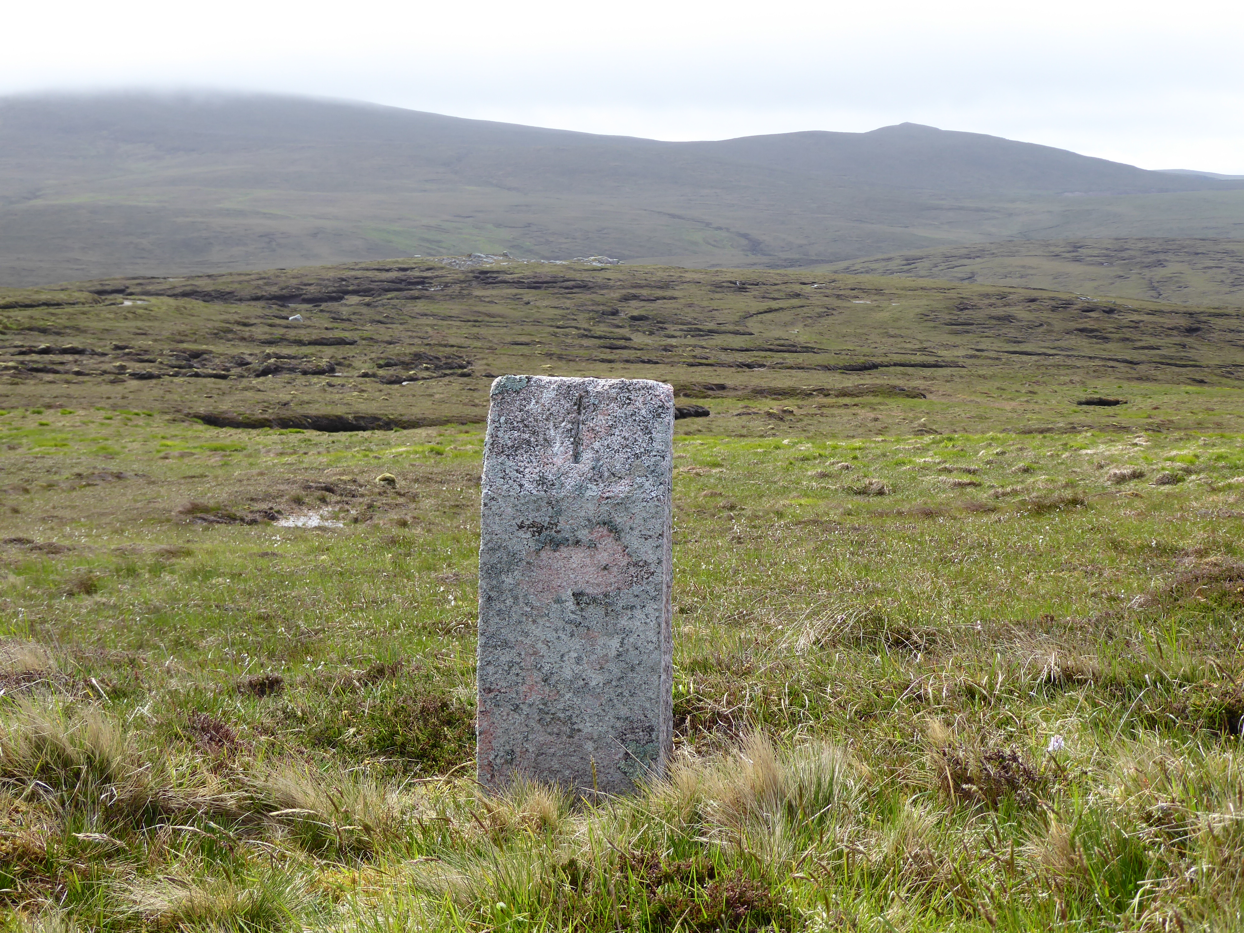
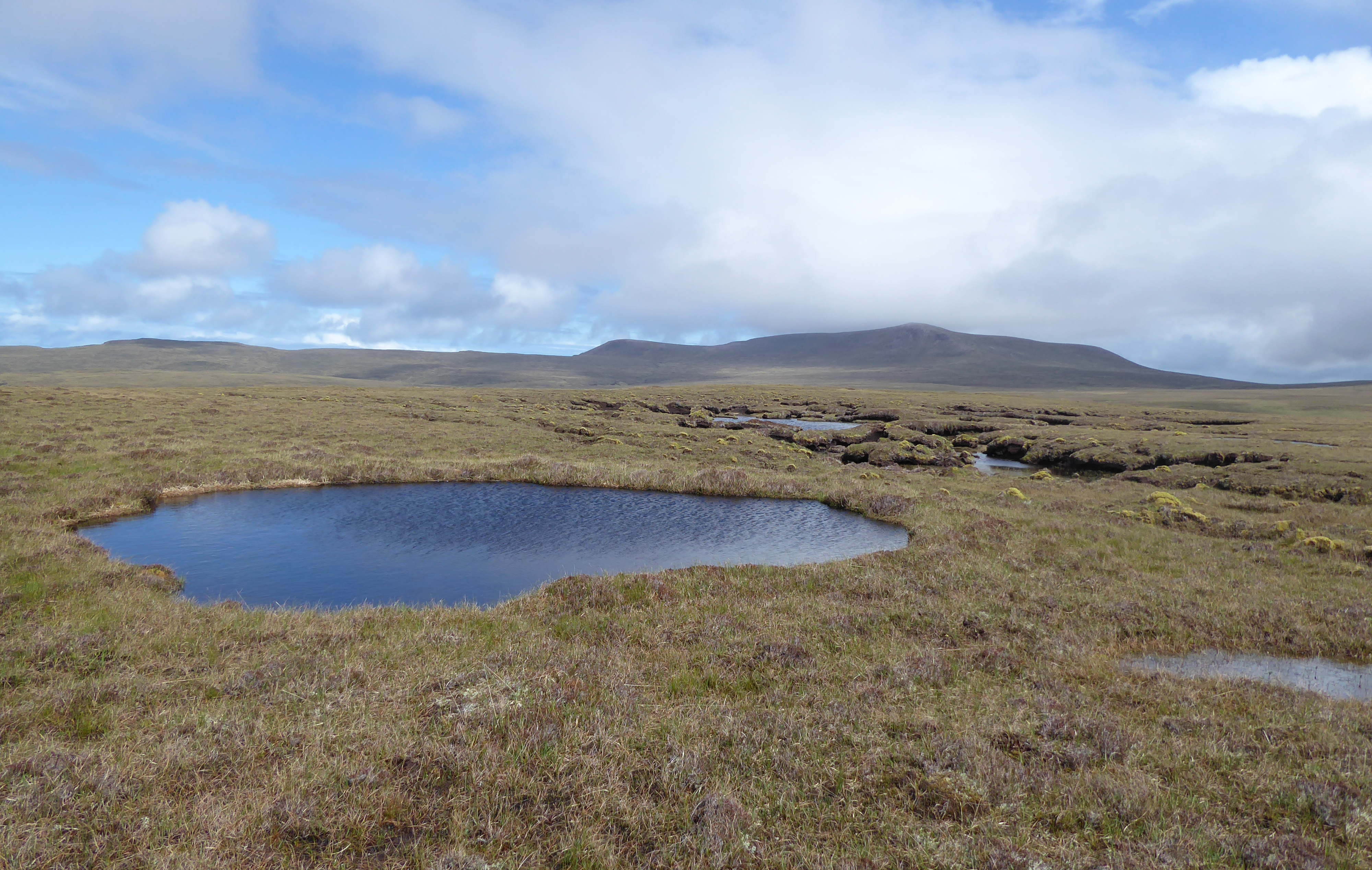
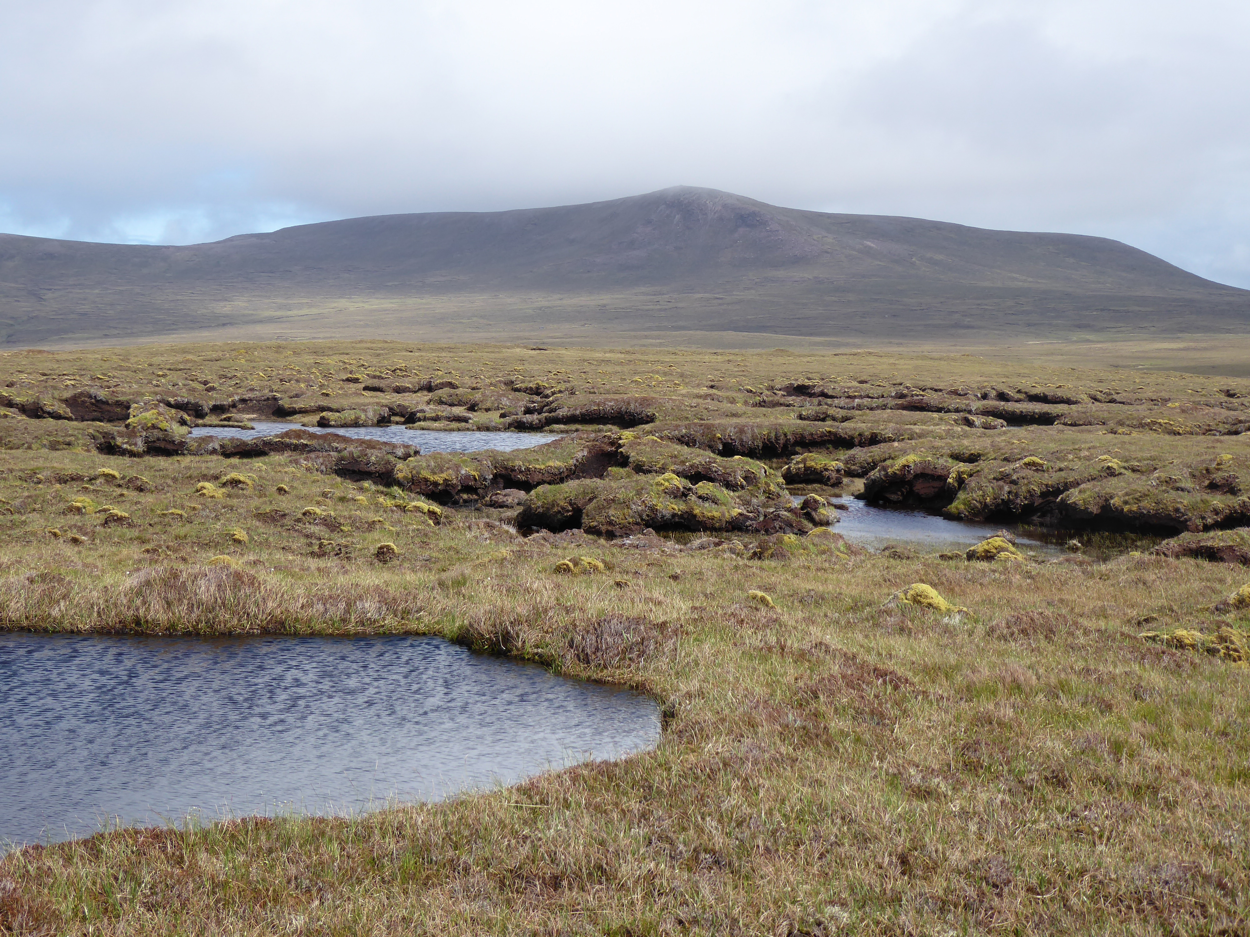
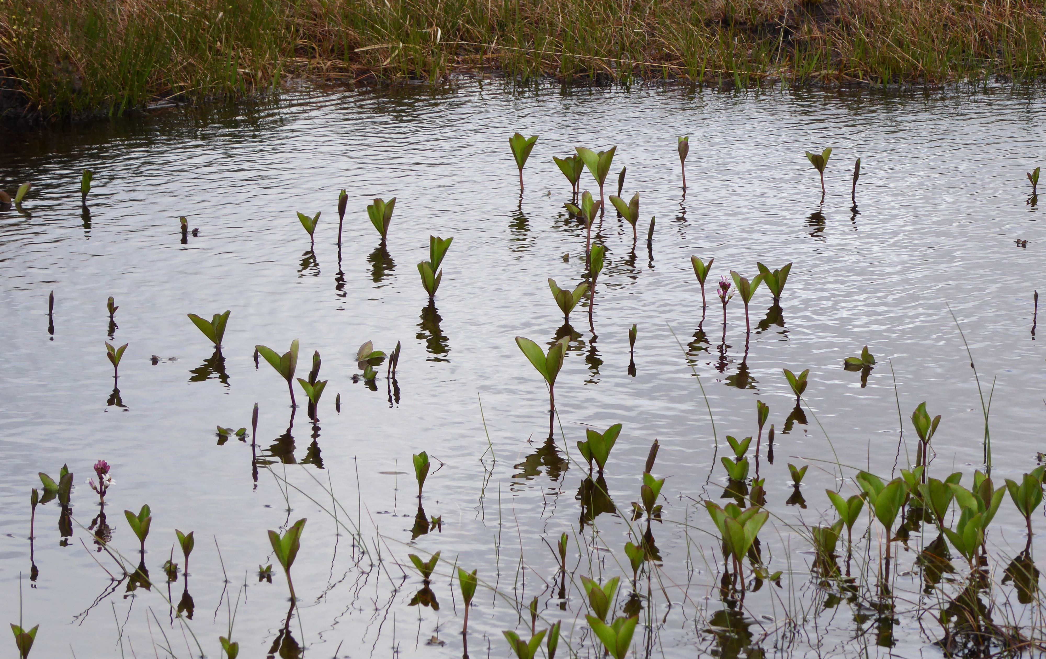
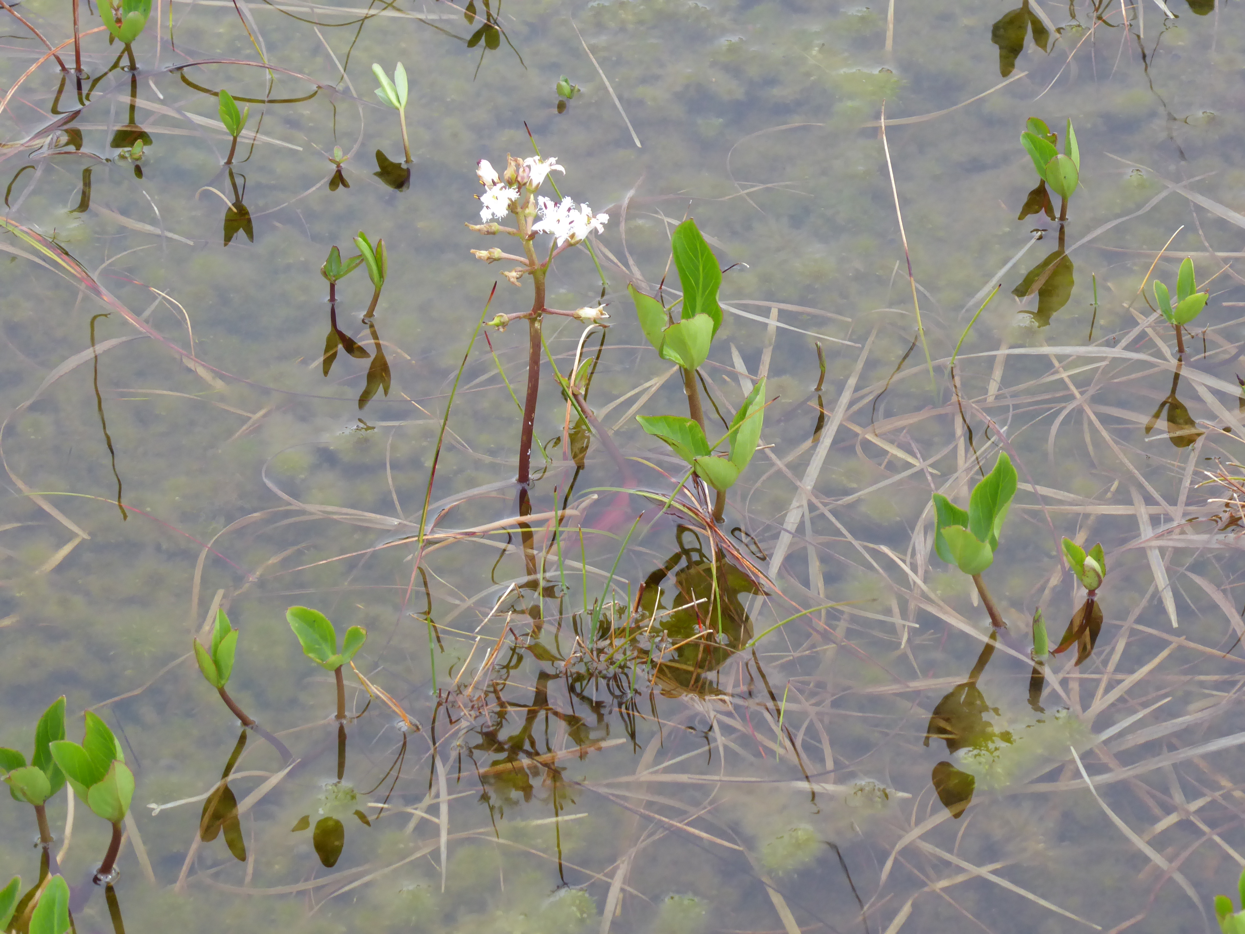
There was nothing between me and it but eight miles of peat bog, so, without a route on my GPS, I just had to head into peaty wilderness.
Peat bog comes in different deepnesses and different wetnesses, but it’s generally OK, so long as you look before you step – mostly. As the day wore on, I was blessed with a strong headwind and driving rain.
I have made disparaging remarks about trekking poles, but thank heavens I had them. Without them, this walk would have been much more difficult, decidedly dangerous, and in several places absolutely absolutely impossible with a heavy pack.
I felt neither overwhelmed, nor one manfully striding forth; I was neither optimistic nor pessimistic: I just put one foot in front of another.
First Images of the Wilderness
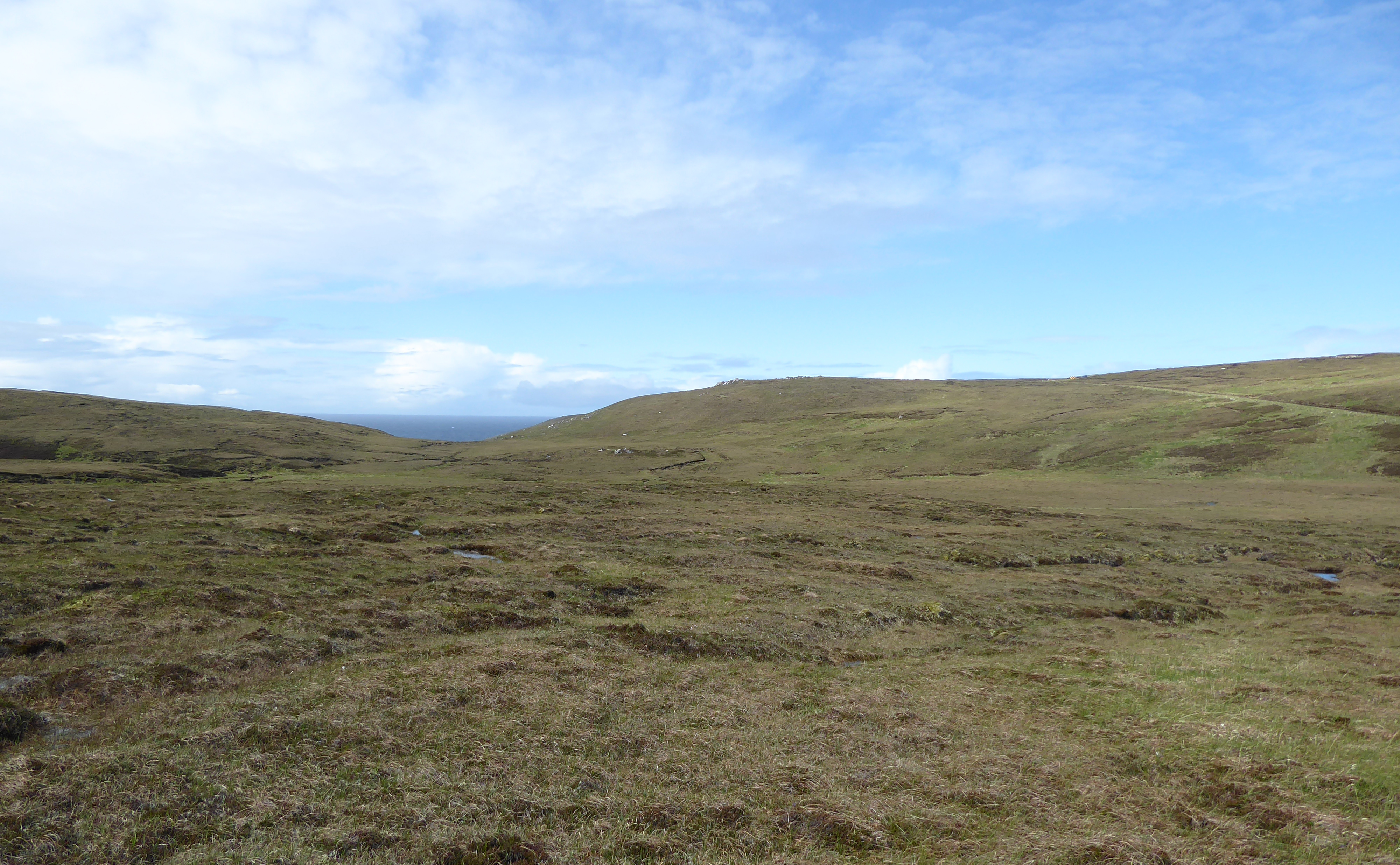
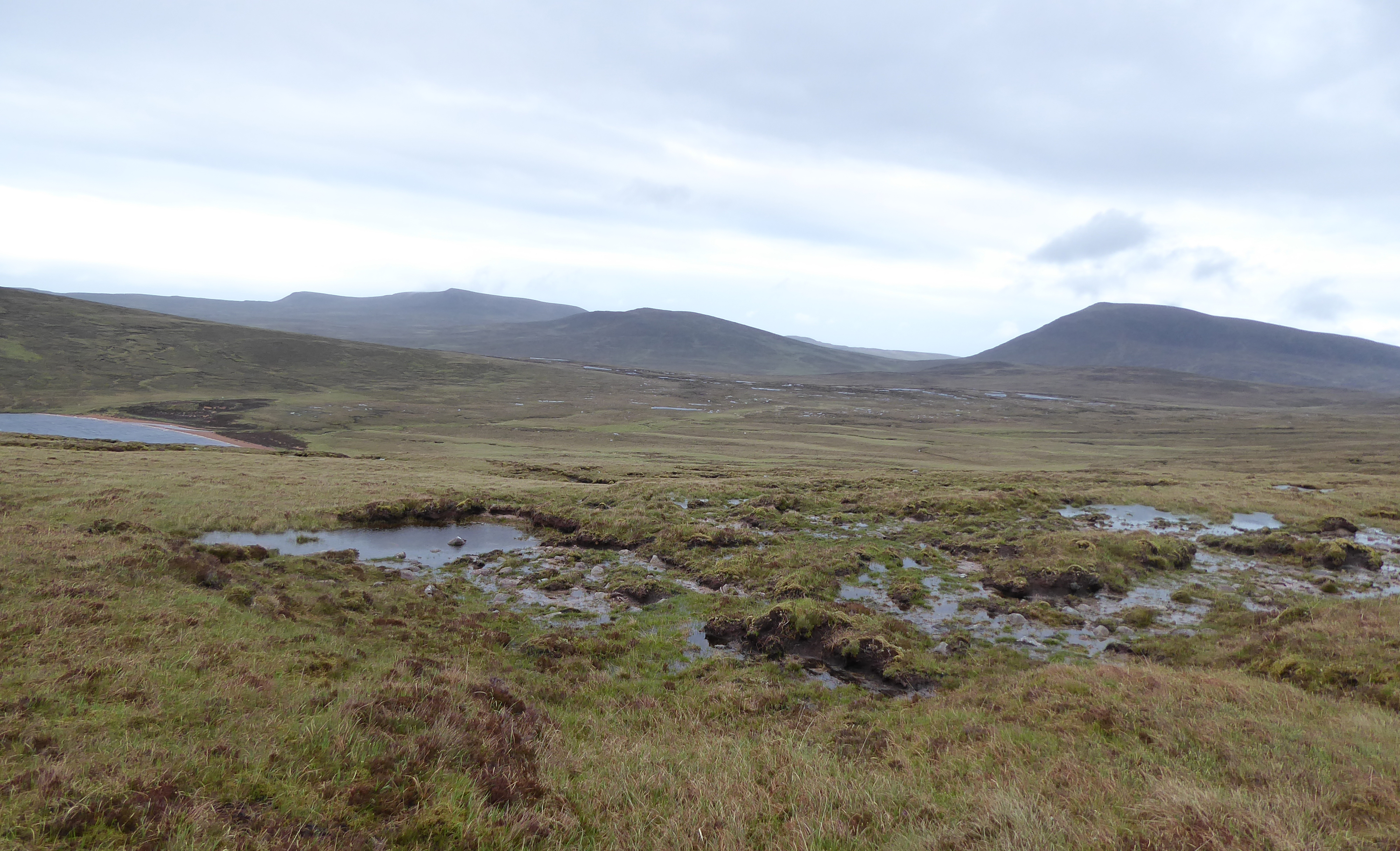
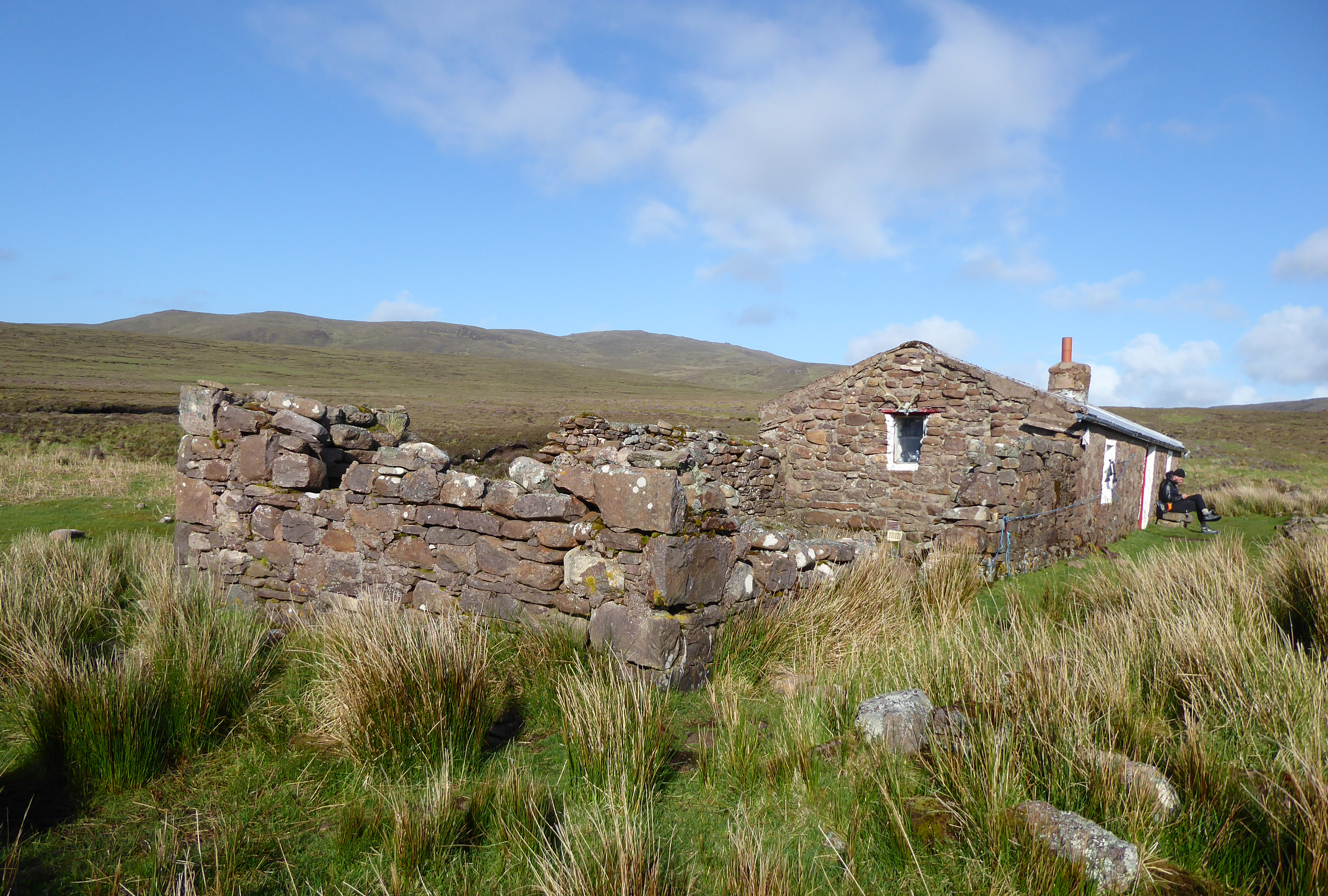
I managed to navigate to Strathchailleach Bothy, a short first day at less than ten miles. There was no fuel for a fire, but it was warmed with the good cheer of other hikers.