17.5 miles – gailforce winds, torrential rain, hail.
A day of highs and lows…
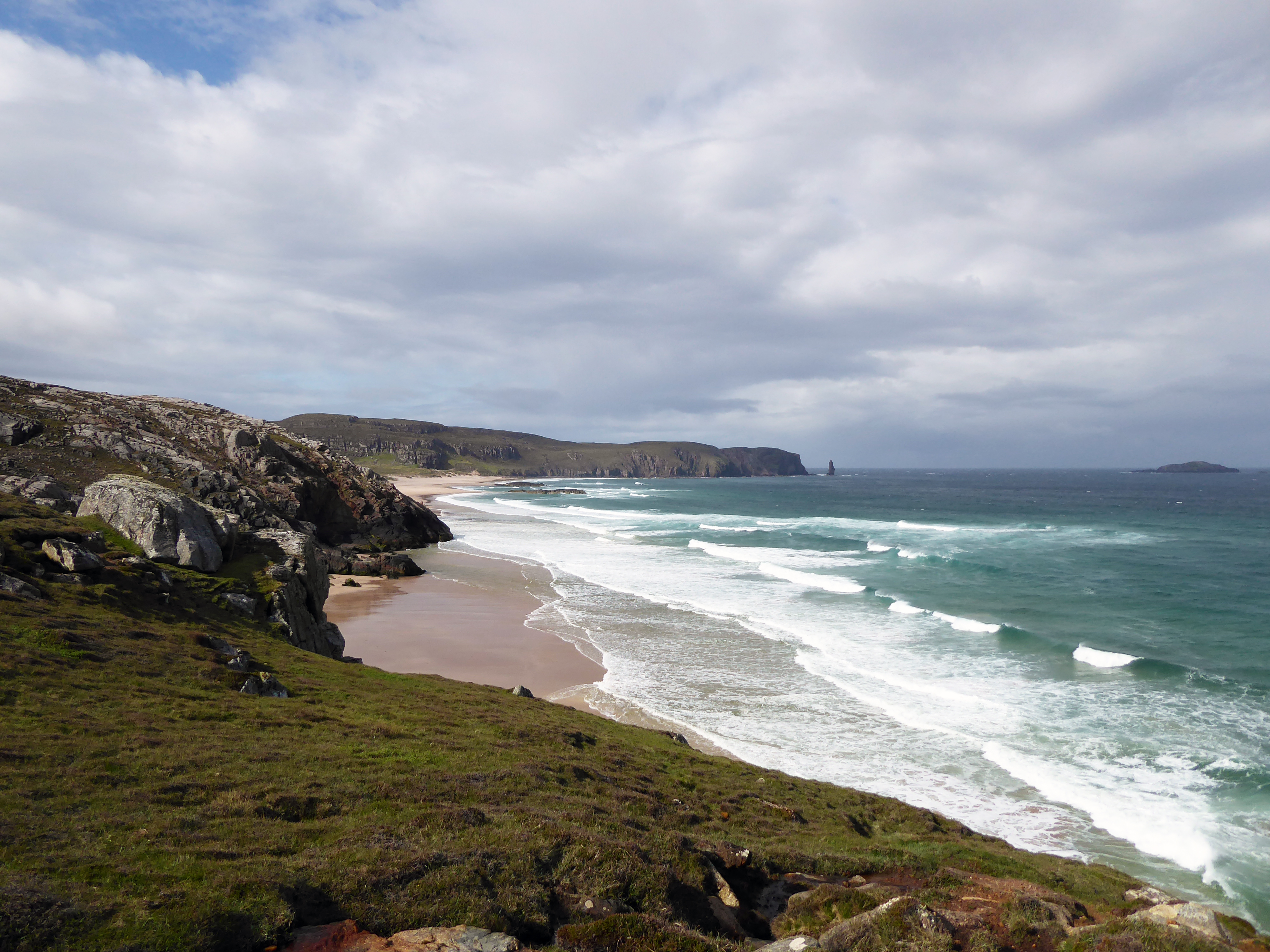
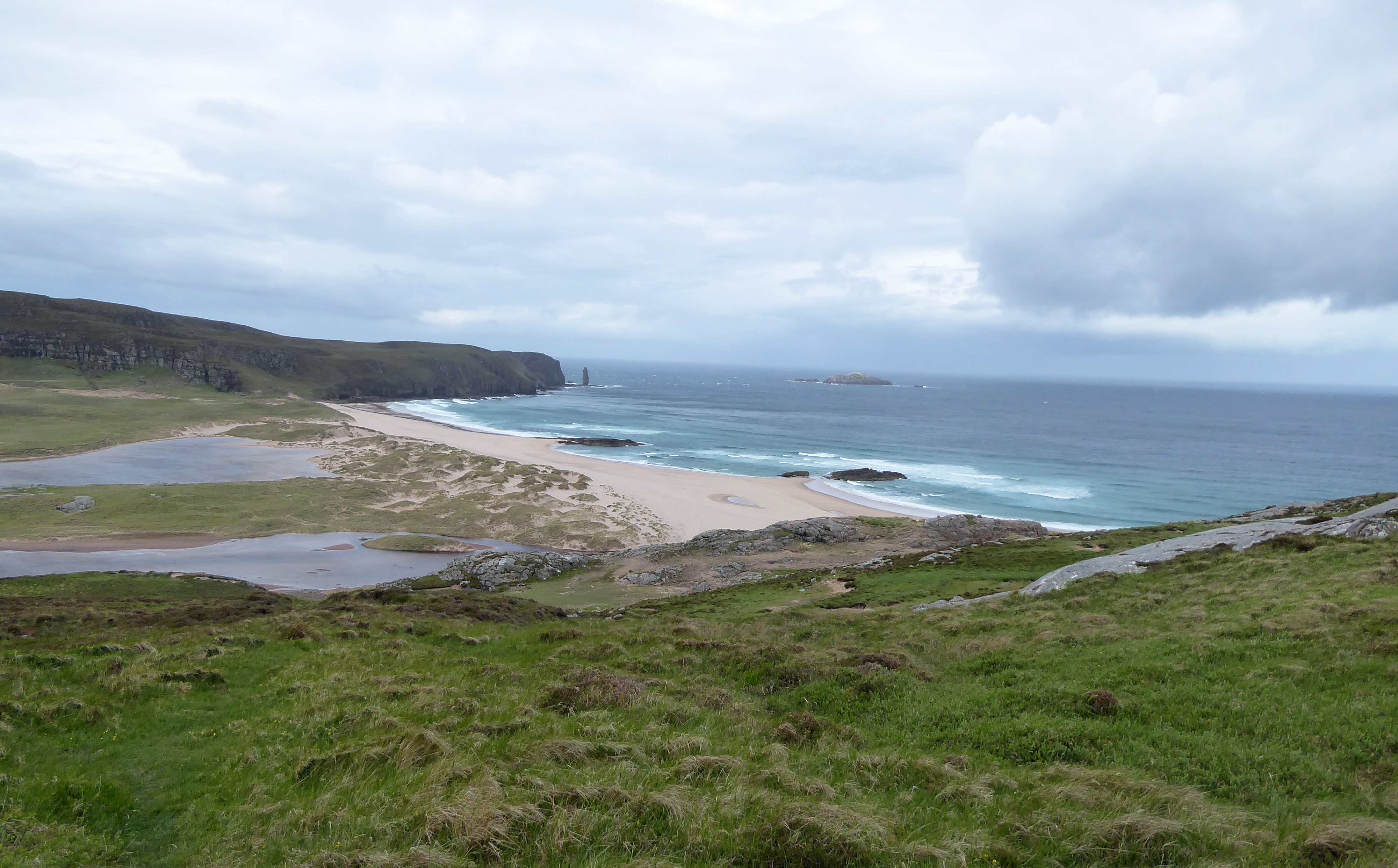
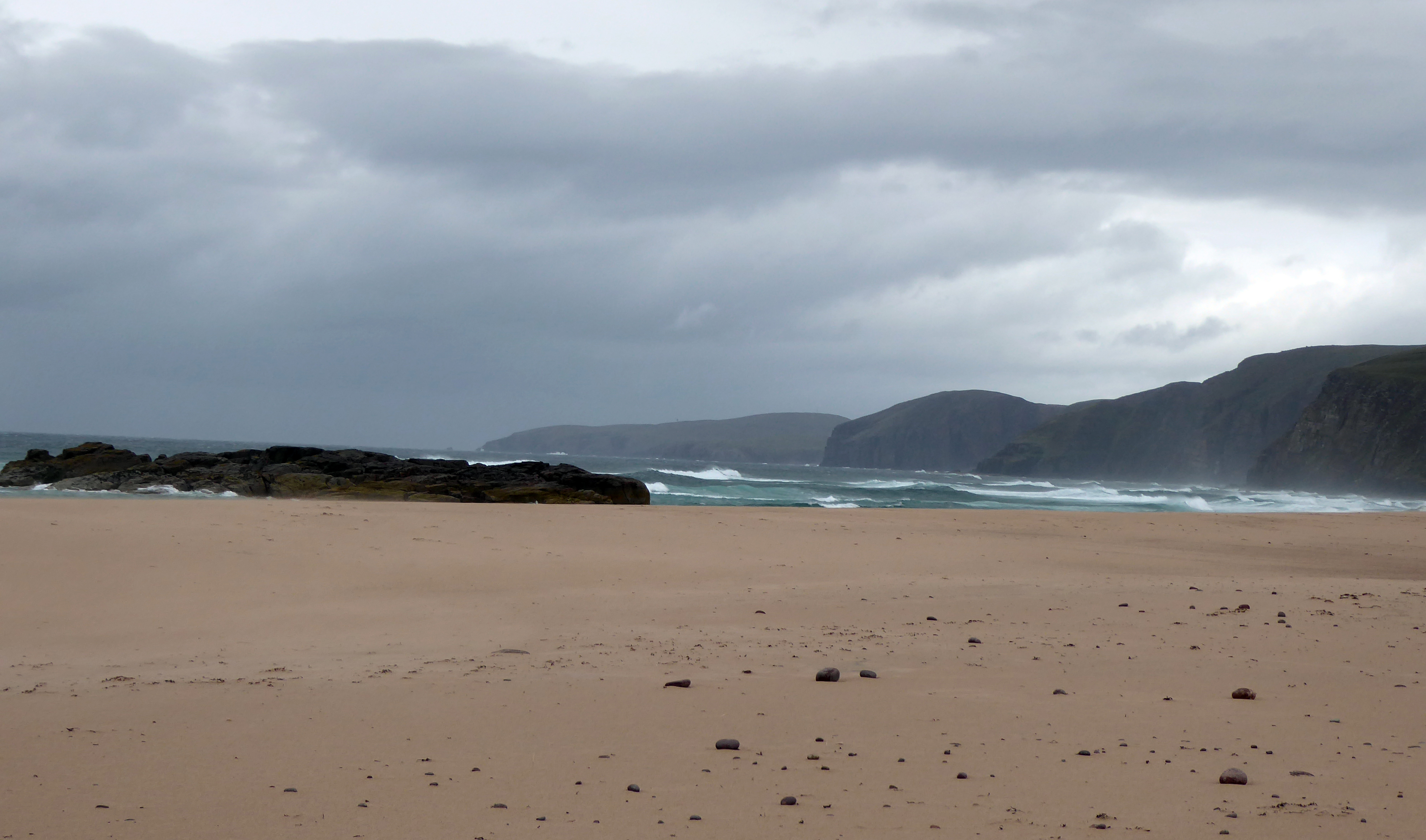
High: the spectacularly beautiful Sandwood Bay;
Low: a powerful headwind driving torrential rain into my face;
High: Andy from GPS Training explained what I had done wrong and got my GPS working;
Low: my Spot X emergency contact device froze but Andy couldn’t fix that;
High: I managed to speak to Rachel on the phone;
Low: horizontal hail;
High: the Belgian waffle with toffee sauce and icecream I bought at the Old School House, Inshegra;
Low: another bloody hail storm;
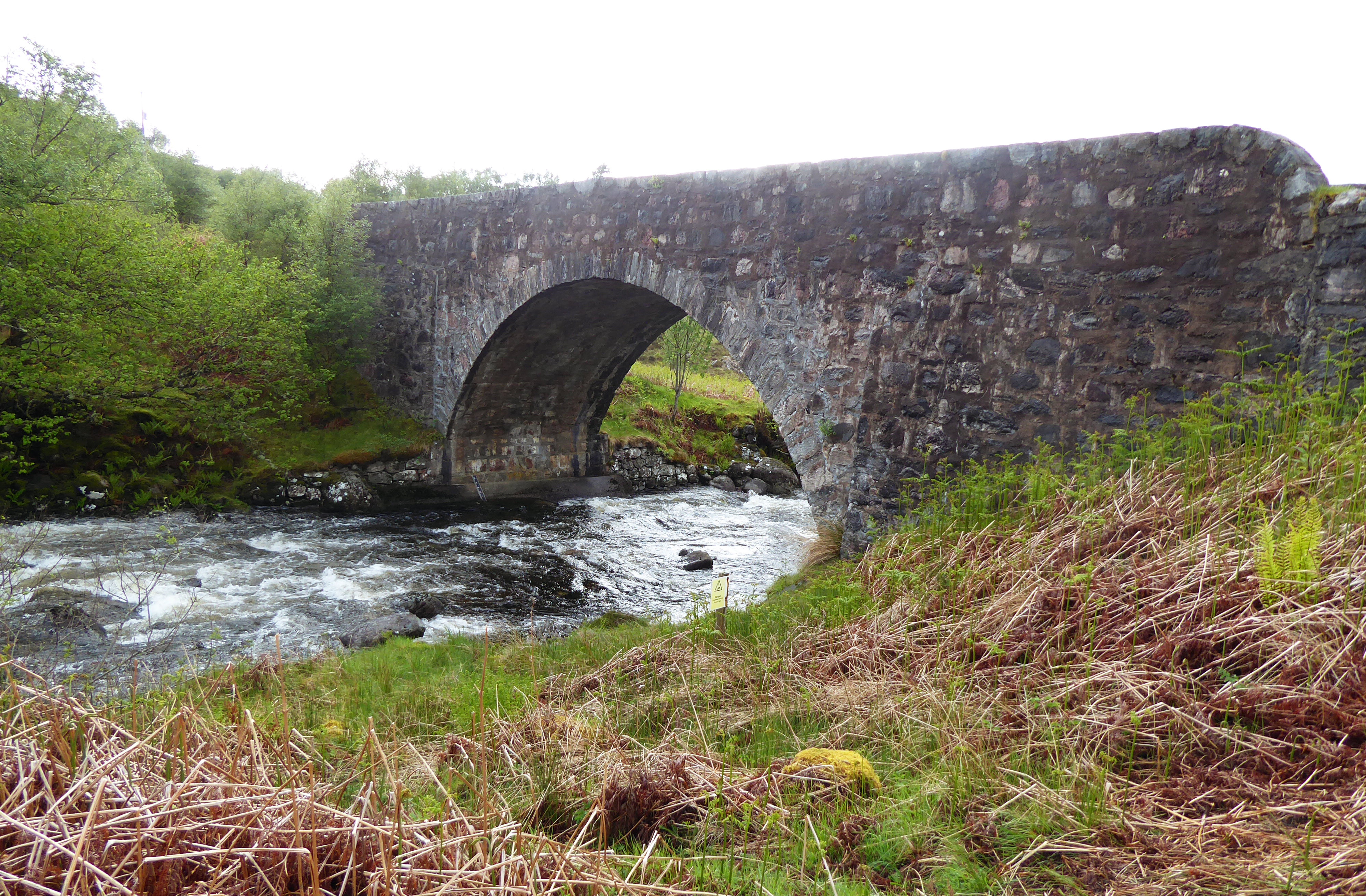
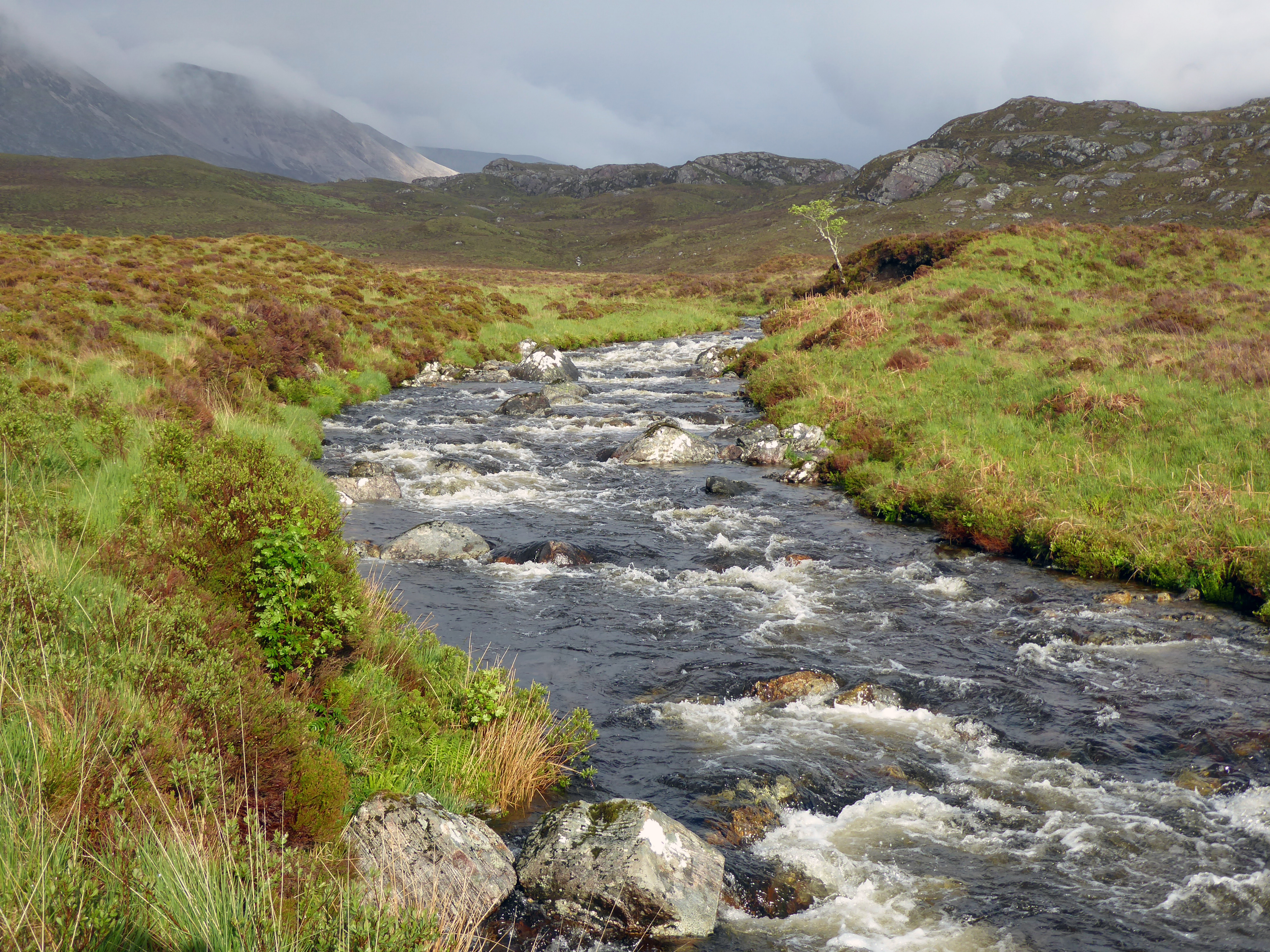
High: the gorgeous Rhiconich River;
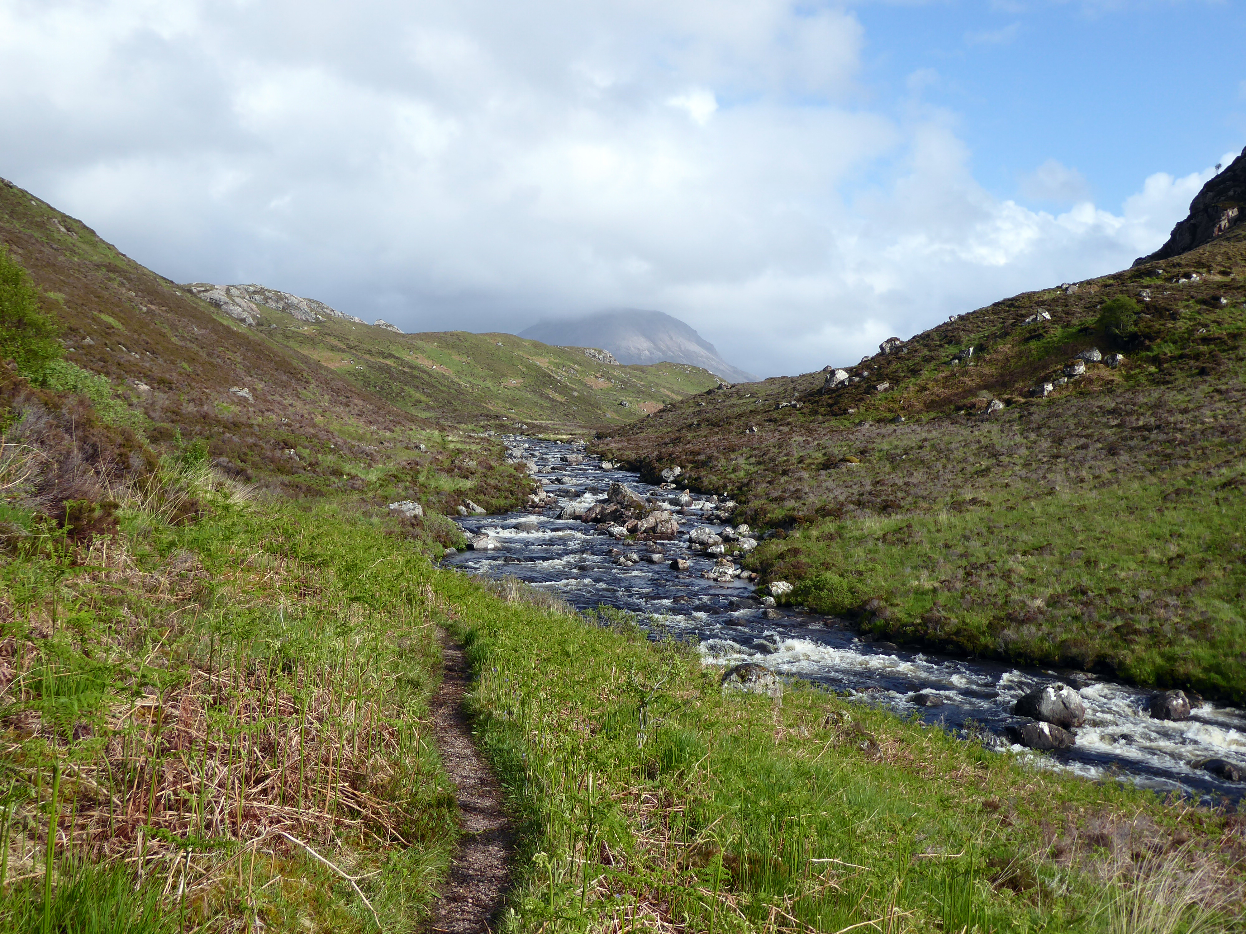
High? Low?: fording the fast-growing Garbh Allt river, up to my knees, inching across on ‘all fours’ with my trekking poles, and just managing not to topple (that would have been the end of the walk);
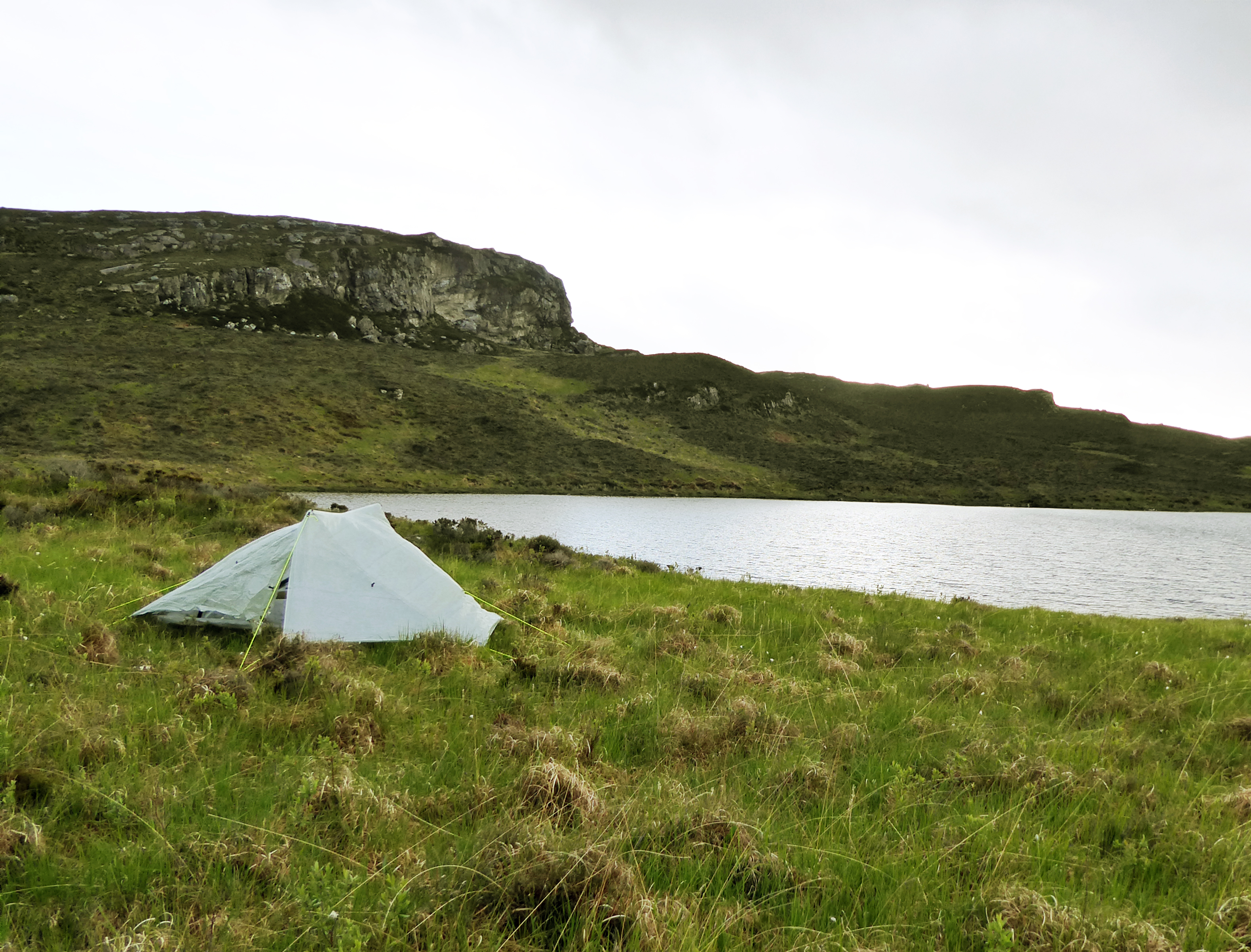
High: pitching my tent by the loch.
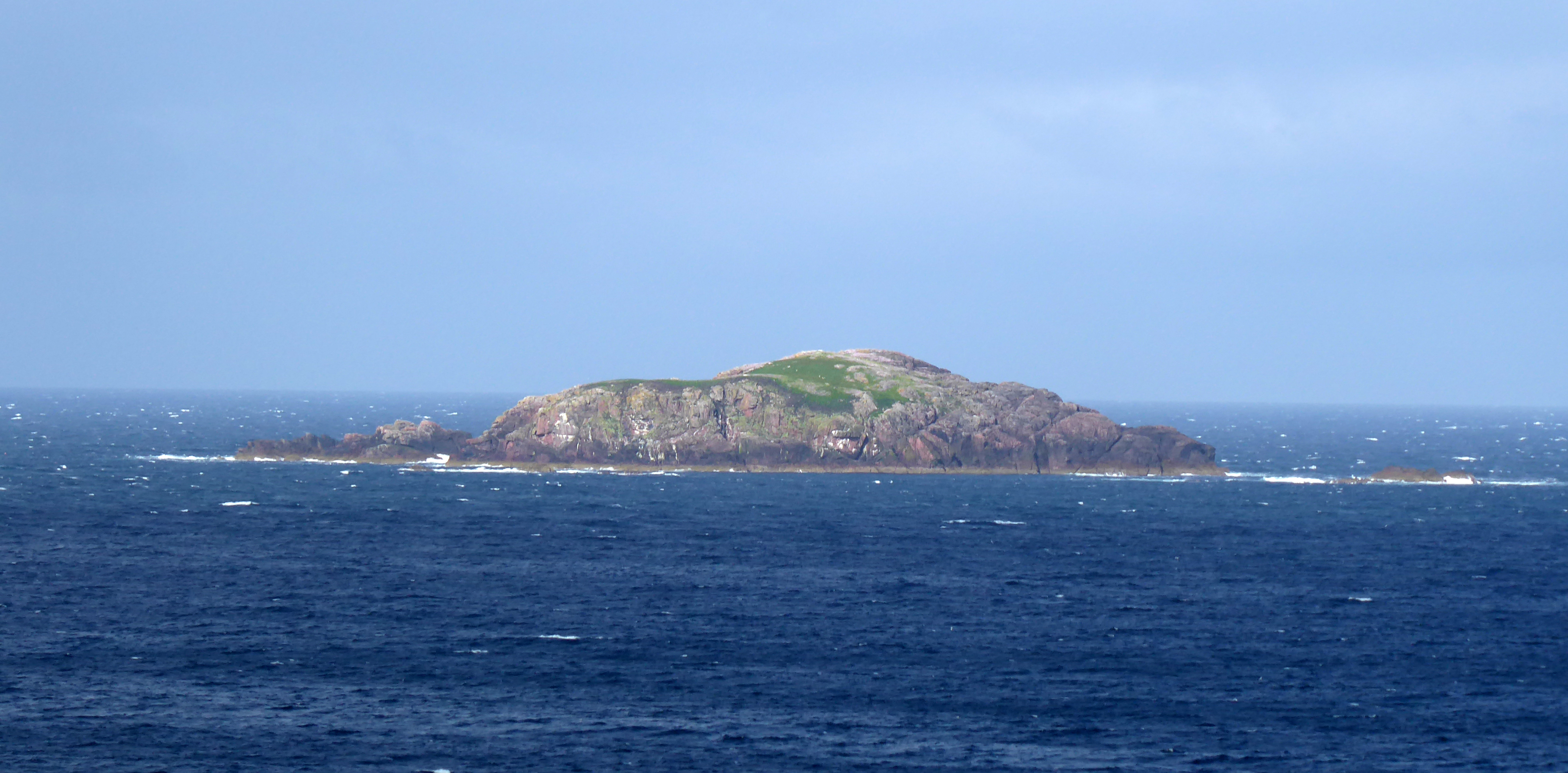
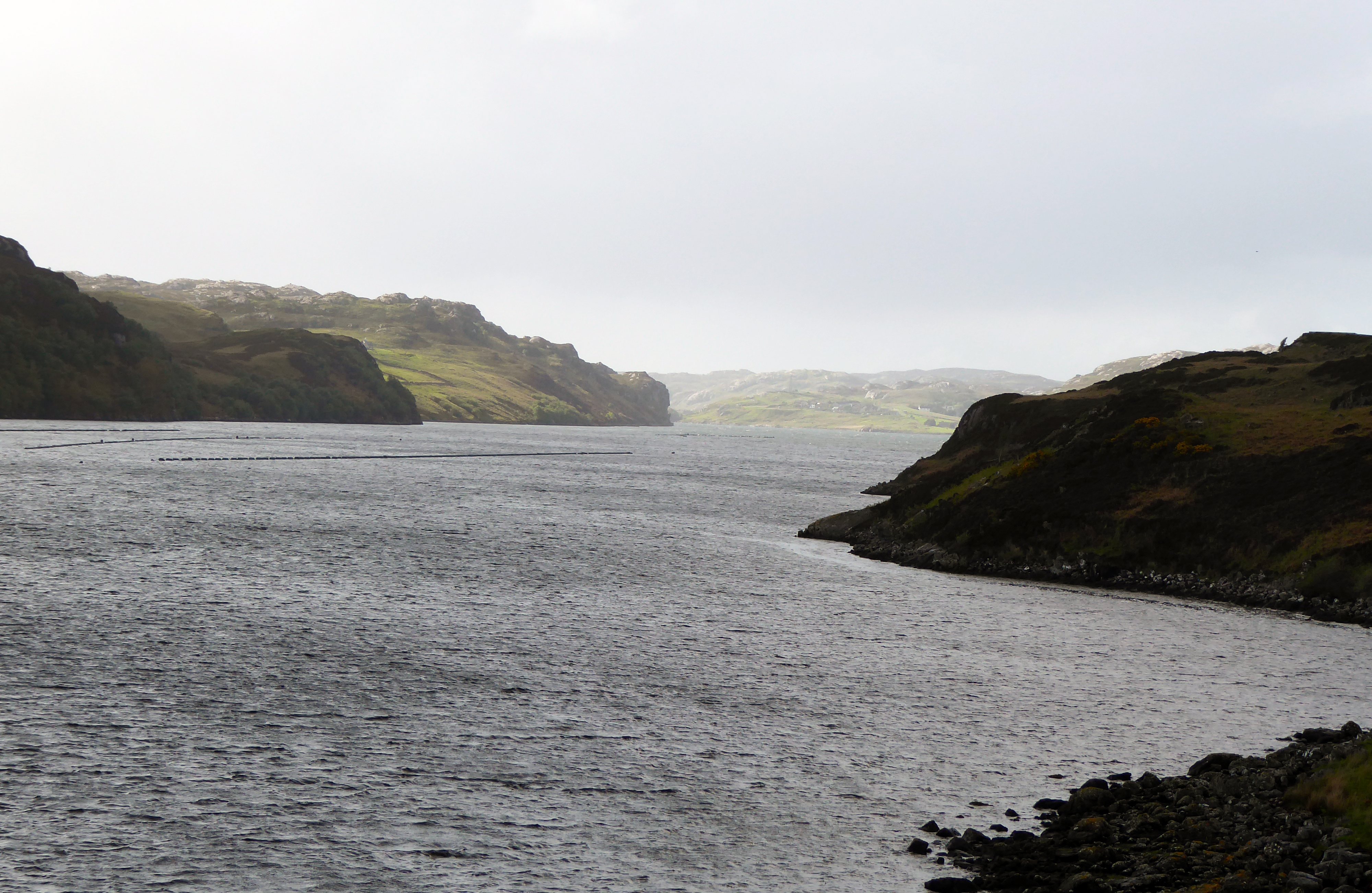
Day 2 in Photographs
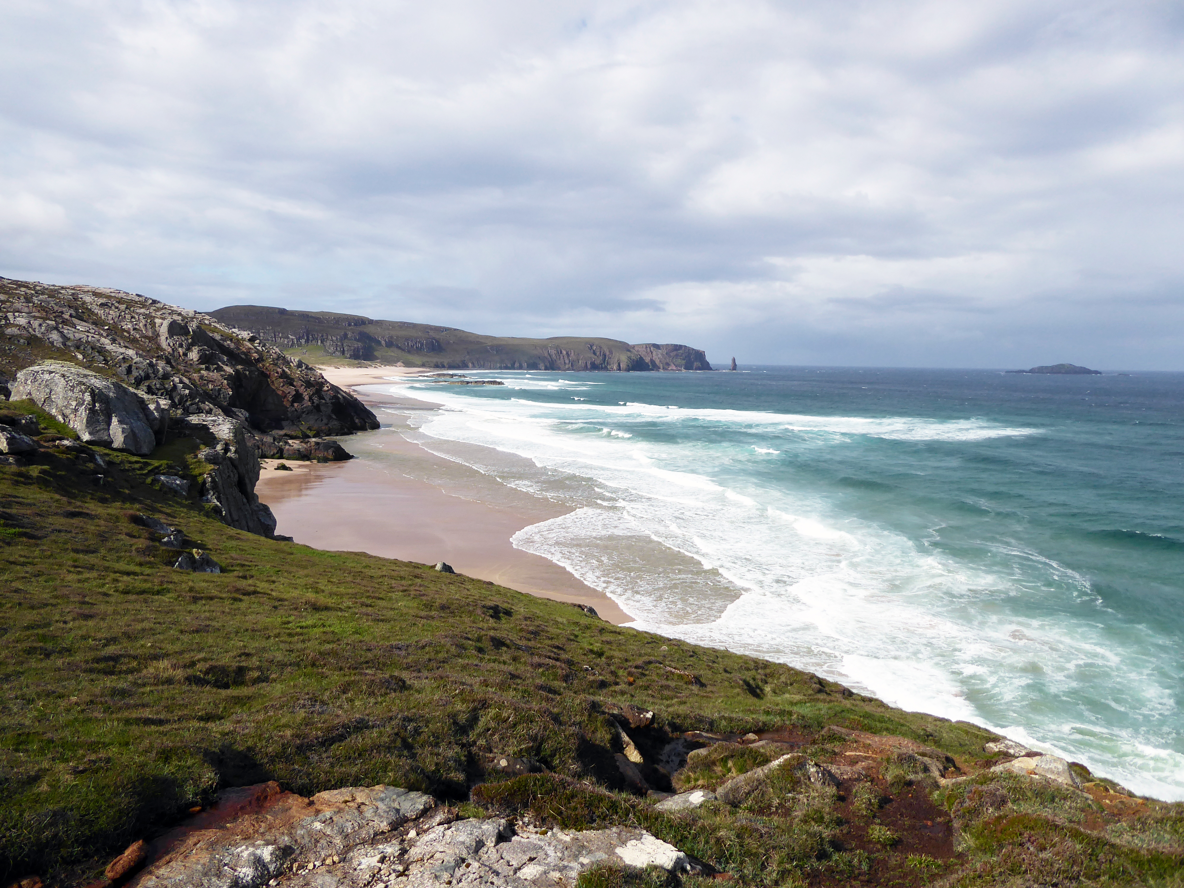
It was shortly after this photograph that the heavens opened and the downpour poured down, making photography impossible. The detour through Kinlochbervie in the horizontal rain meant I could at least get a phone signal, so I was able to sort out the problem with my GPS.
How long did it take your boots to dry?!