16.5 miles – wind gusting to galeforce, frequent showers, some torrential
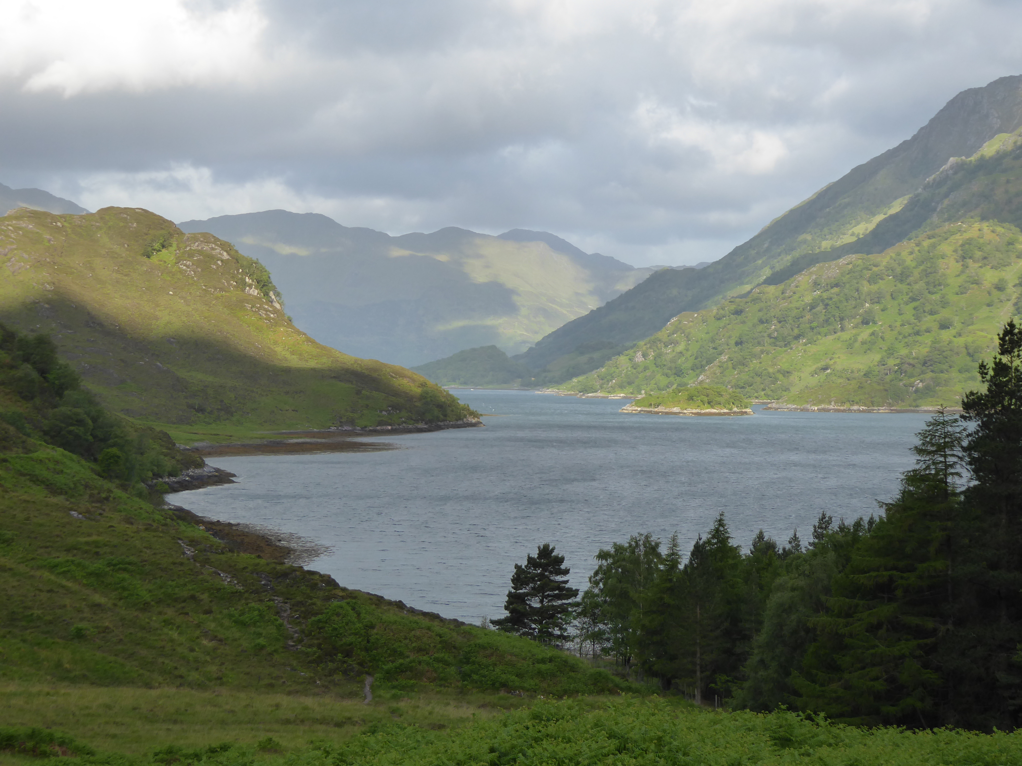
I was treated to more gorgeous views of Loch Hourn and rainbows. there would appear to be gold on the other shore; too far round to go looking for it.
I nearly changed route and went to Invarie, where I knew there was a hostel and a pub (the most remote pub on the British mainland), but decided to push on instead. in the light of what this day and the next brought, it’s a pity I didn’t. But that’s life: you make the decisions you make with the information you hav e at the time.
THE DISAPPEARING PATH PARADO
It goes like this: You’re walking along on a clear path, and then either it peters out, or else it stops suddenly. You look behind you – yes, there are footprints and trekking pole marks; you look ahead, nothing, just heather, grass and peat bog. What to do? Check the GPS, set a course for where the path ought to have gone and set off.
And then after half a mile or so, you notice a path happily wending its way a little way up the glen. How did it get there? and more perplexing, how did the walkers get to it from the first path? (Were they flown there by helicopter, for example?) Again and again on the Cape Wrath Trail this happened; had it been once or twice I would have put it down to my misjudgment, but it happened half-a-dozen times a day. Other walkers told the same story. It’s bizarre!
But today it led me into real danger. I found that, despite being on a strong path, I had got off the designated route. So I went back to the place I needed branch off – and there was nothing; no path, and too steep in any case. So I retraced my steps along the visible path, even though it was going in the wrong direction: ‘perhaps people have found a new, better route,’ I thought. And then the path became less and less district in that paradoxical way until there were no footprints at all.
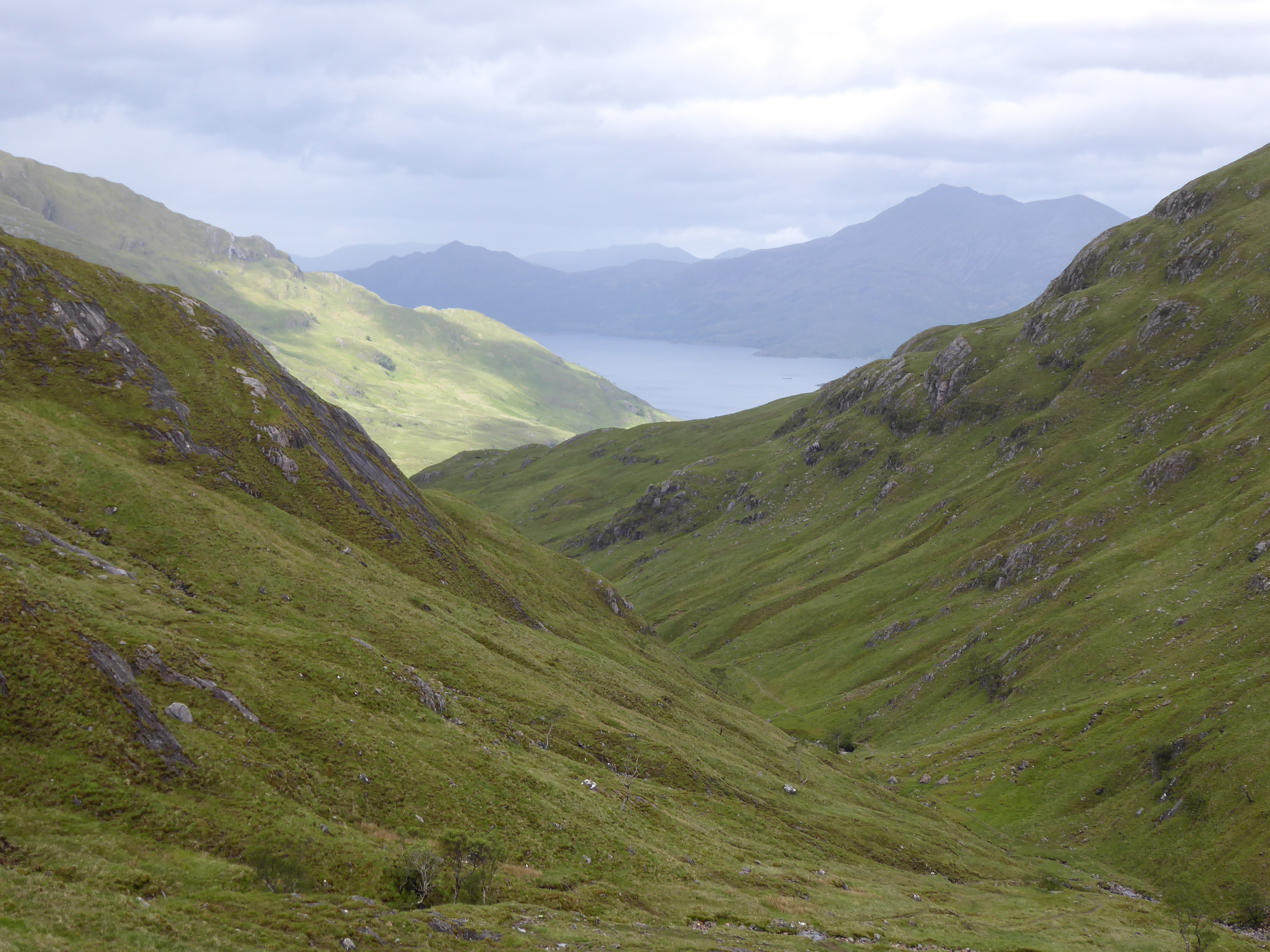
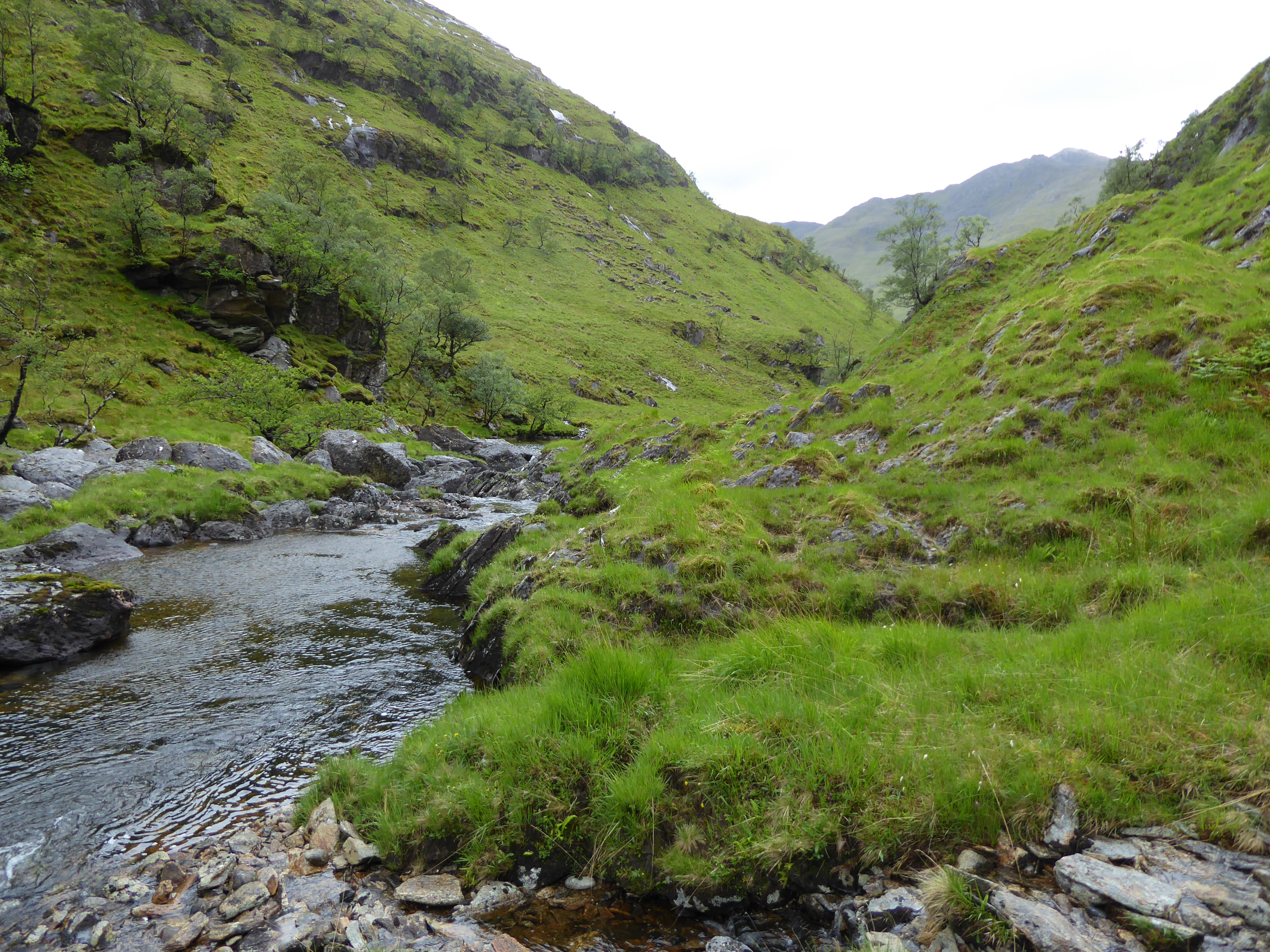
By now the rain was torrential, on a tropical scale. But there was no choice, I had to get to the bottom of the glen. This meant negotiating a slope 60 or 70 degrees with many rocky outcrops which were impassable, meaning I had to climb back up and find a safer way down. The last leap was the hardest. I had to throw my trekking poles and rucksack before me as I couldn’t have relied on landing safely with the added weight. (It turned out only my reading glasses were damaged.) The remote and isolated River Carnach was a delight, but I would rather have had a duller but safer path.
WHAT DO OTHER HIKERS DO???
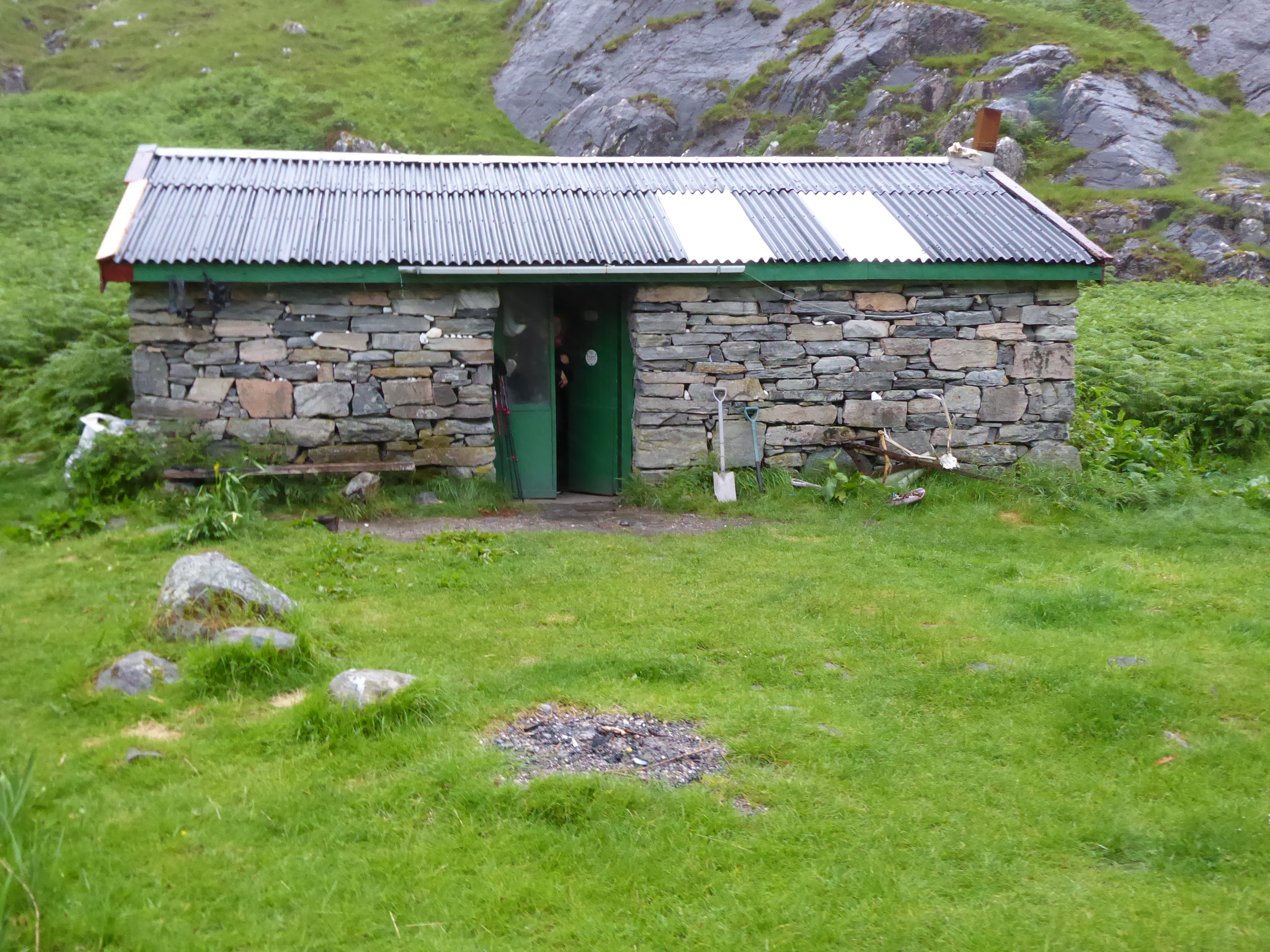
I eventually reached Souries Bothy and a warm welcome from a German family. And all night I listened to the stormforce winds and clattering rain. I hav e no idea whether my little tent could have stood up to it, but I’m so glad I didn’t have to put it to the test.