Warm and sunny with a lovely, cooling breeze – idyllic walking weather
I bought the maps I needed in Hebden bridge – at last!
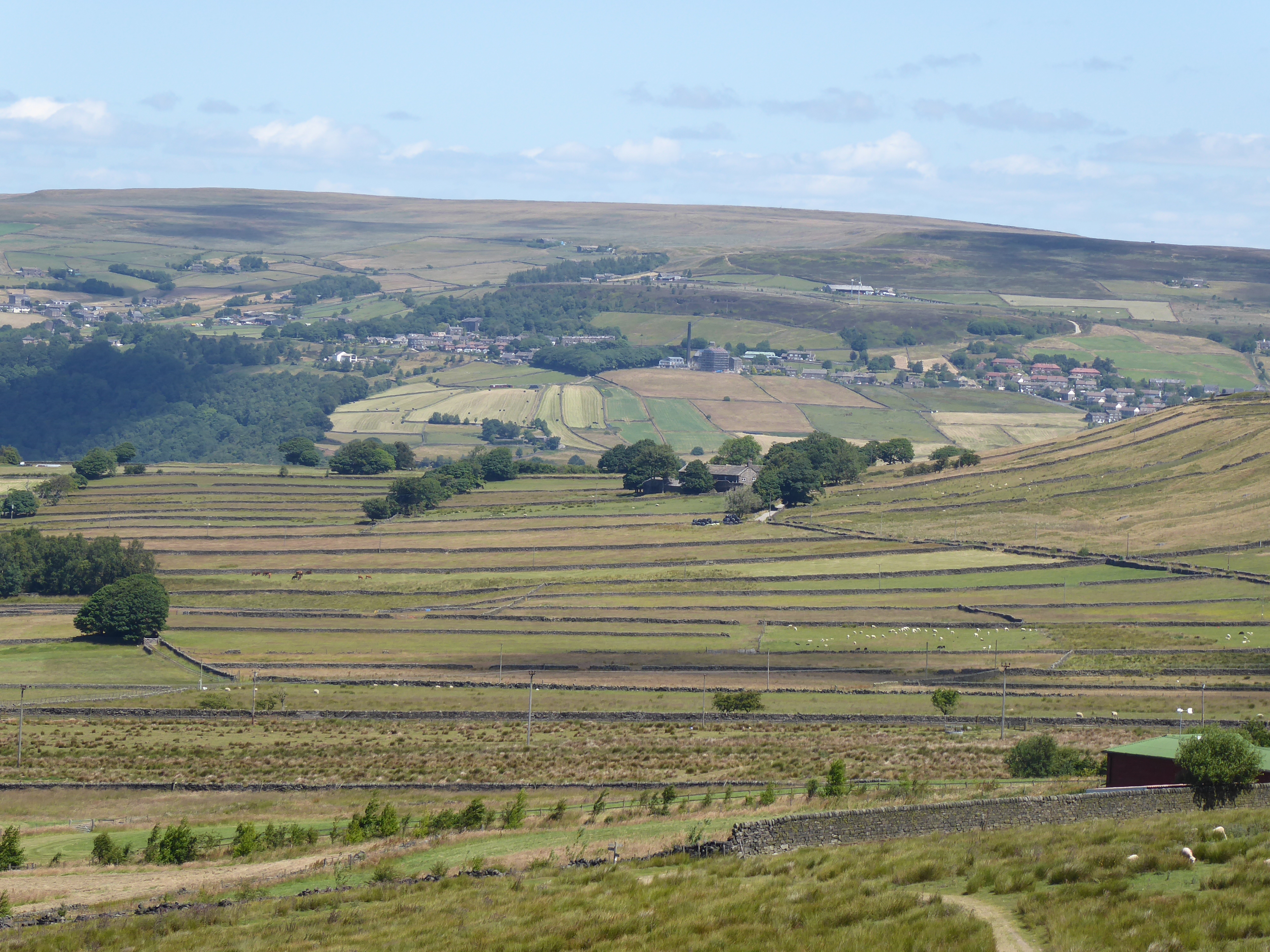
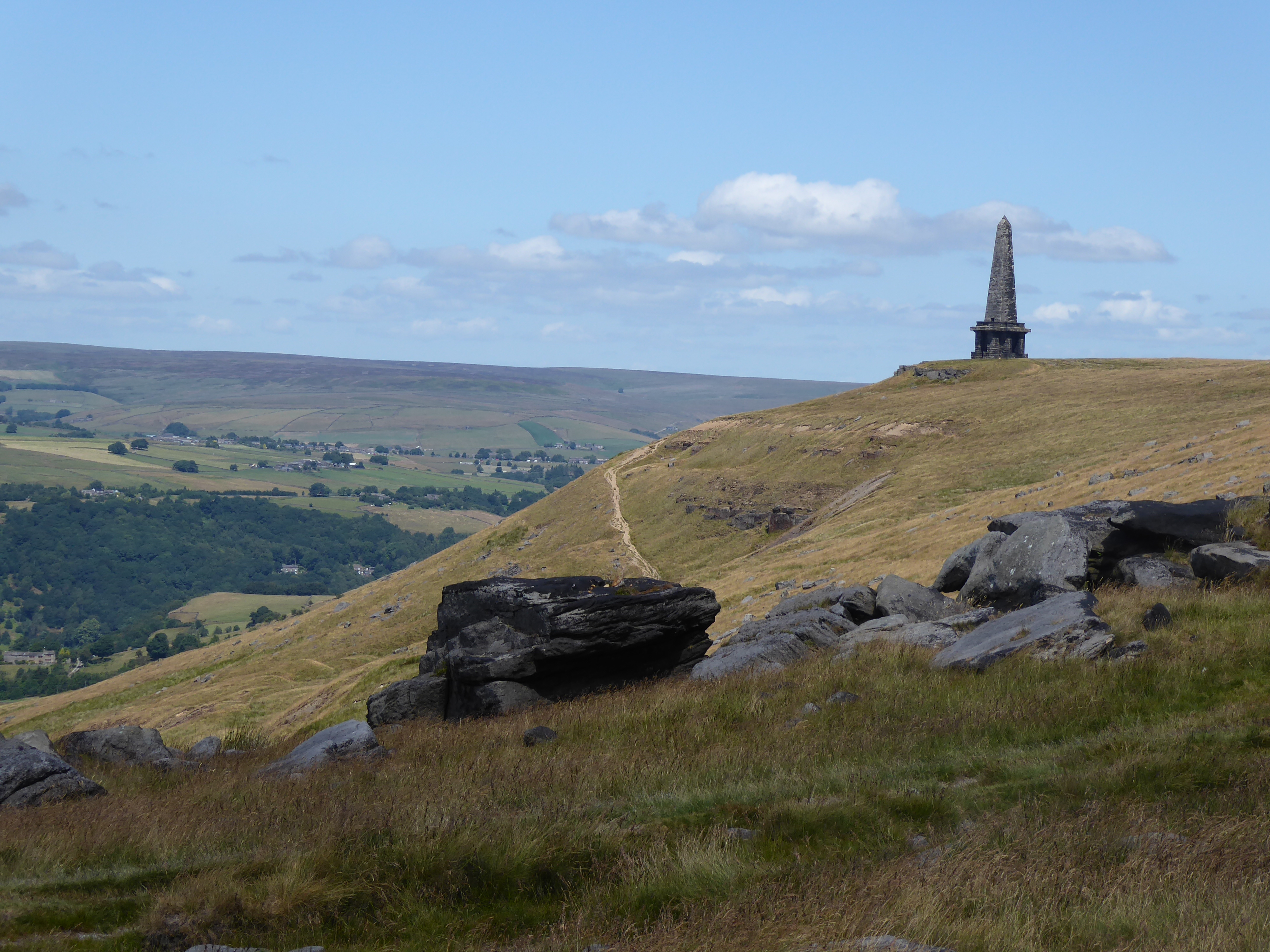
I have avoided peaks recently, as you may have noticed if you’ve been following this blog, but I couldn’t refuse Stoodley Pike in this glorious weather. Despite the eruption of Manchester, which was constantly glowering in a grey haze to the west, today’s walk passed through some of the emptiest moorland in the Pennines. The one building I passed was The Whitehouse pub – and irritatingly, it was shut.
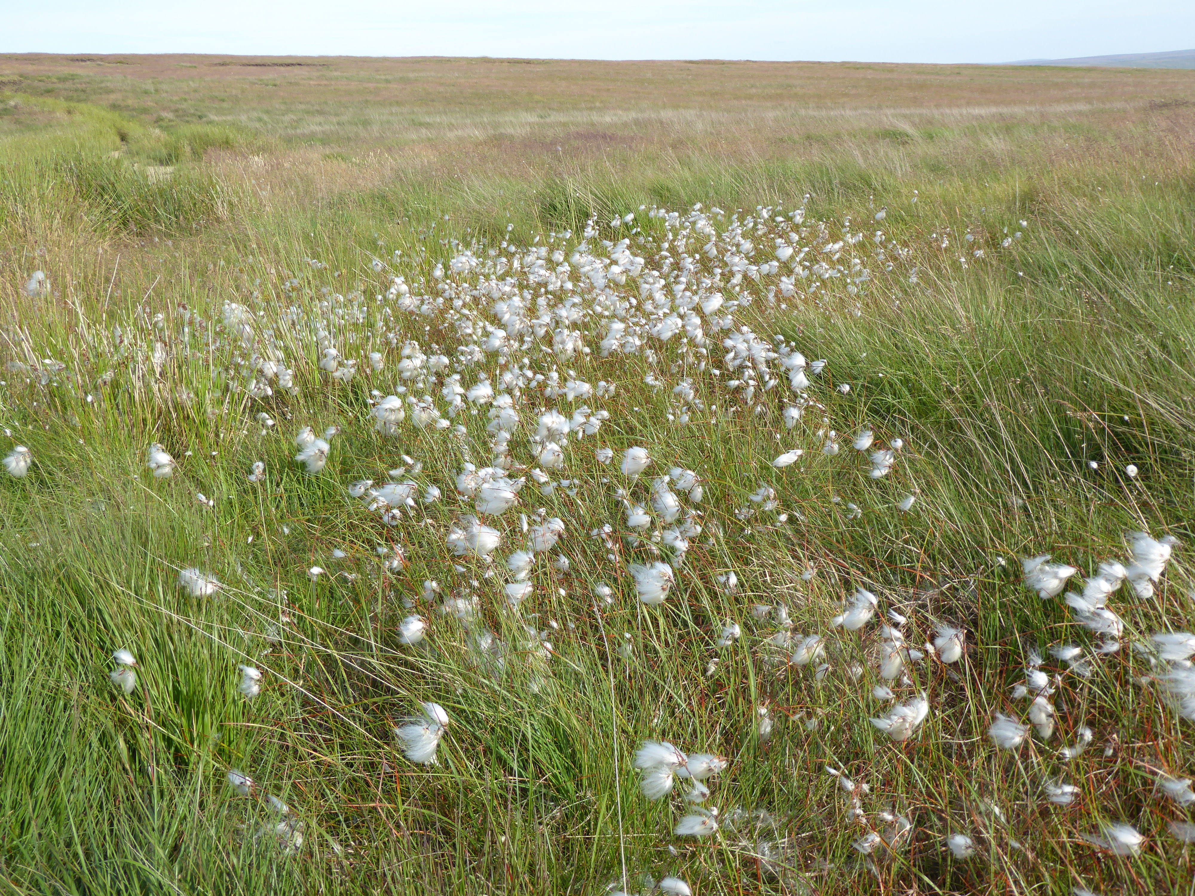
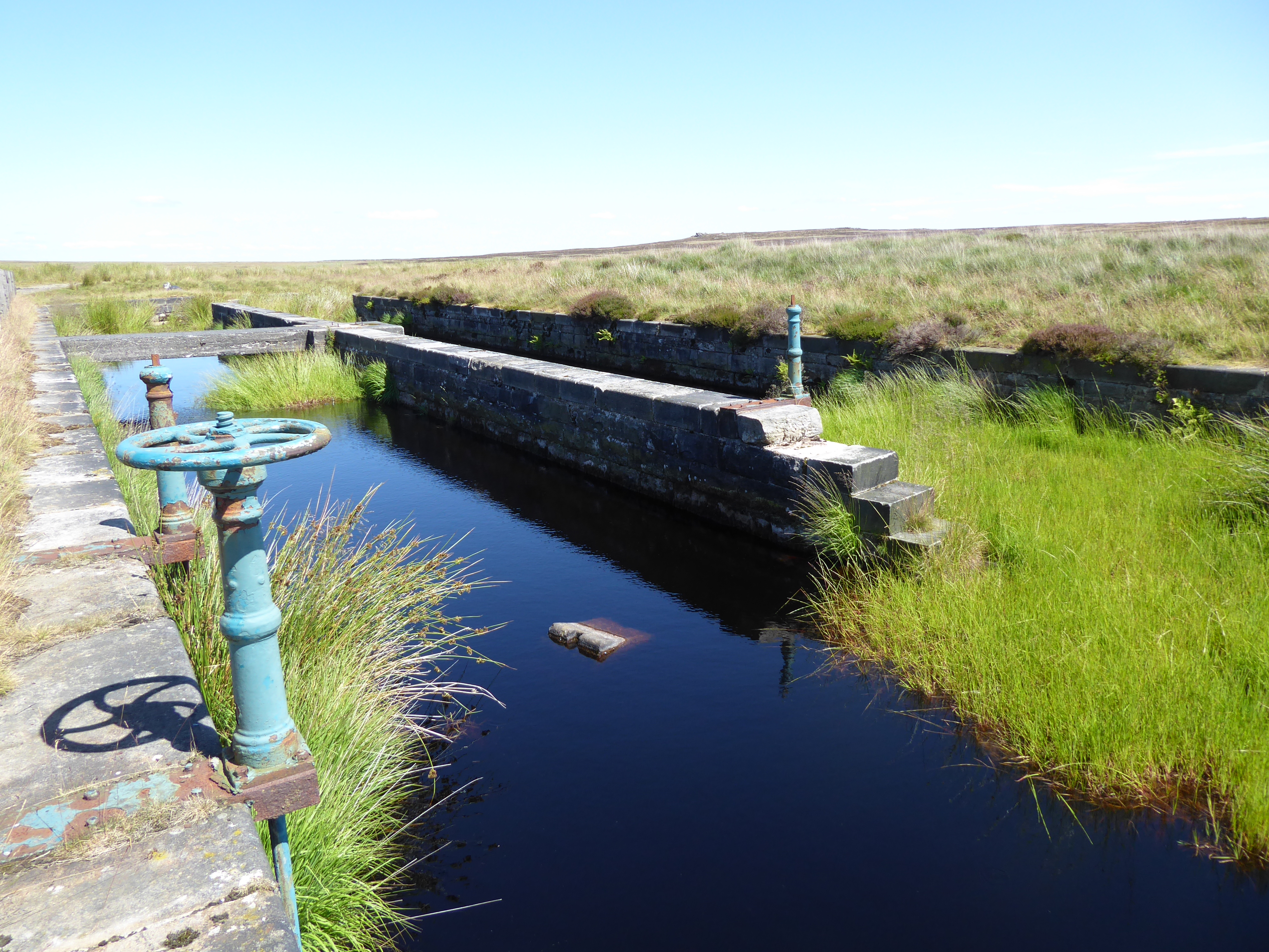
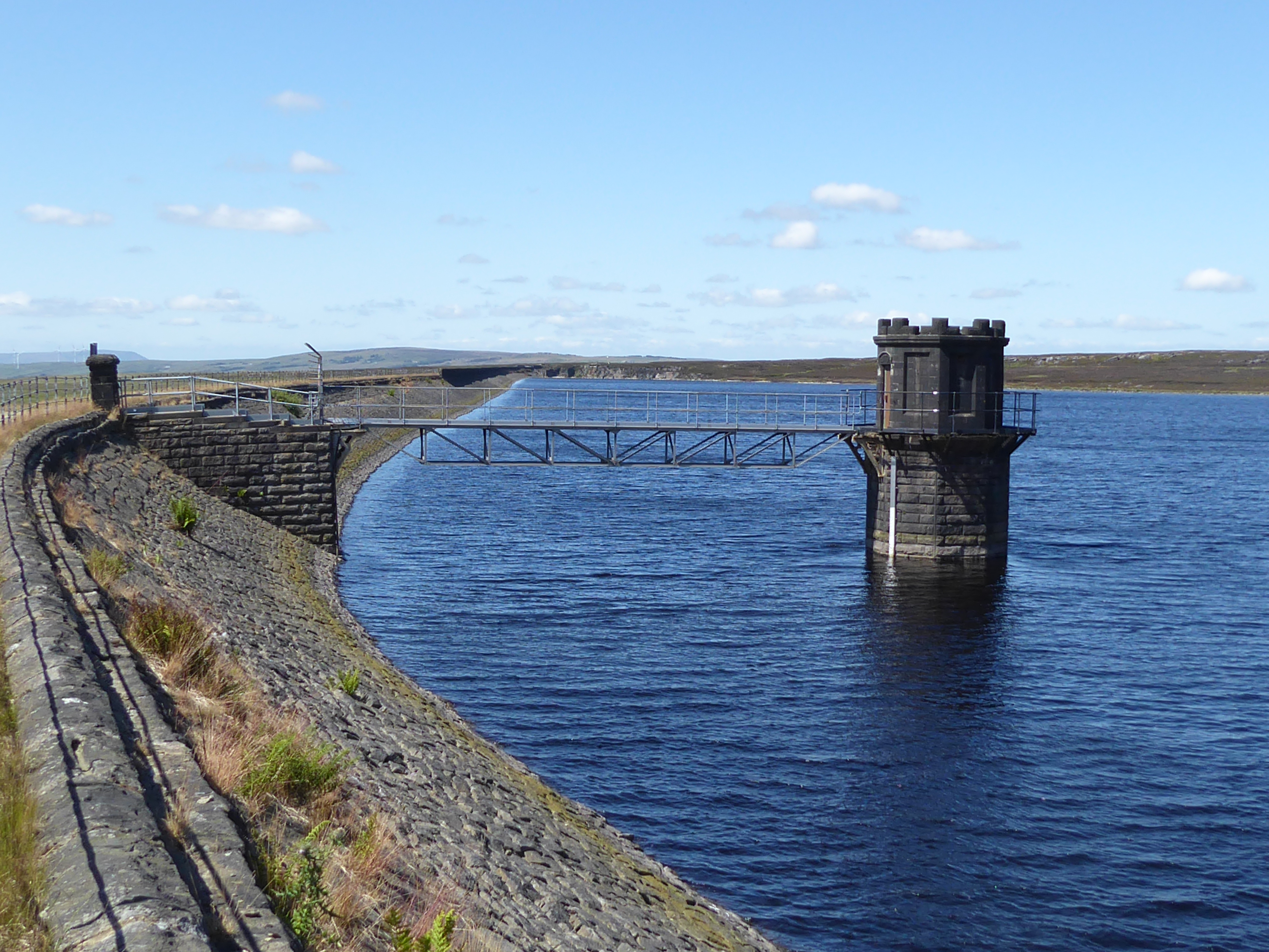
I found what appeared to be a disused canal on the highest stretch of the moor. It was only after finding the reservoir which it fed a little while beyond, that that I realised it was not intended for transportation, but part of an immense system of drainage canals, feeding a chain of reservoirs, which provide the thirsty of Manchester with their water… but at what cost to the moorland?
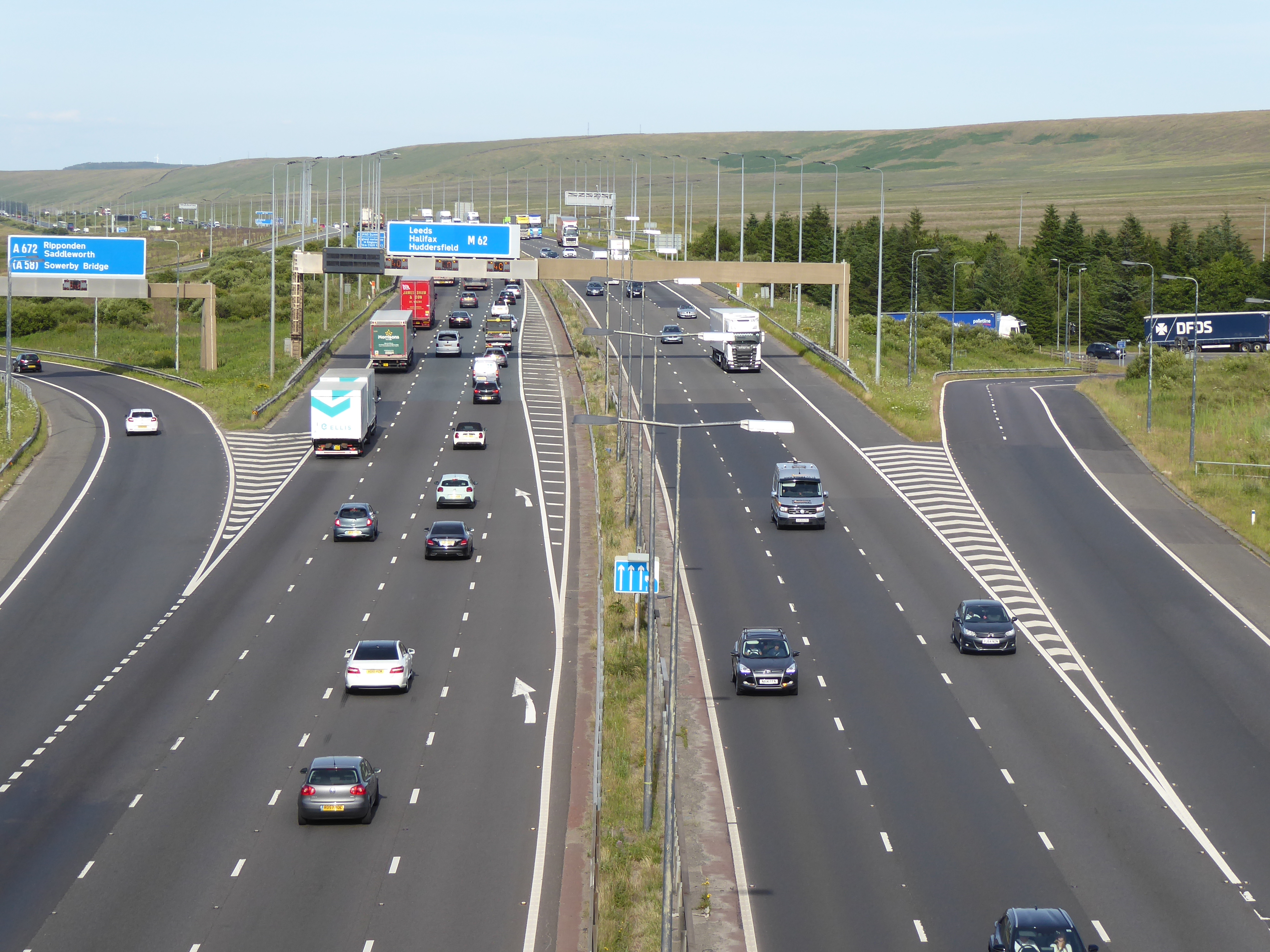
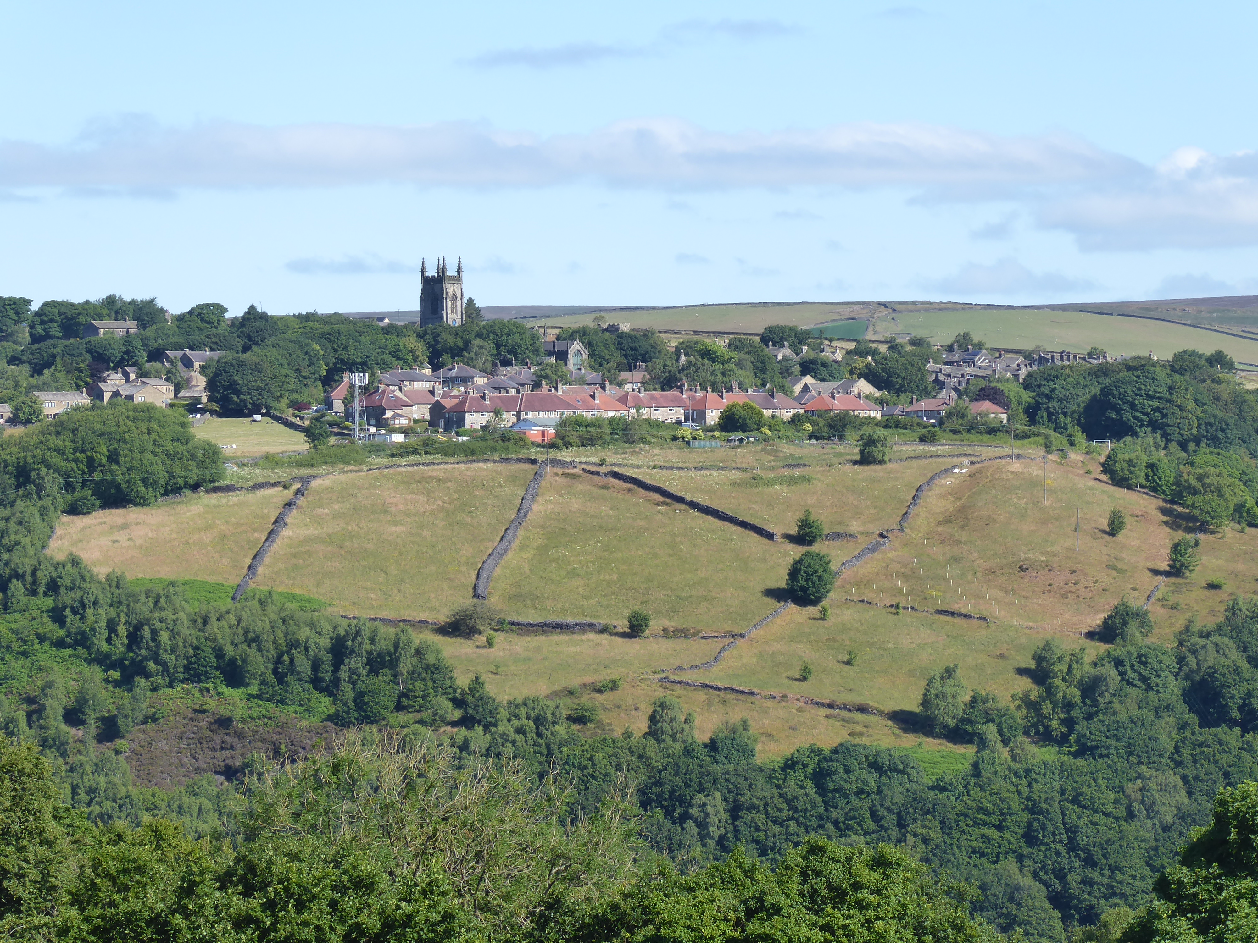
After crossing the M62 and the A62, the track divides in two. The Pennine Way continues south, whilst the old Packhorse Road, leads to the south-east towards Marsden – that was how cloth and dye was transported across the Pennines in the 17th and early 18th Centuries. I needed to restock with food, and there was something at Marsden I was longing to see, so I took the left-hand fork.
I knew there was no likelihood of a good pitch in or near the small town, so I pitched my tent on the most uneven surface I have yet had to employ, tussock grass. I found a patch of flatness between tufts of grass about four feet long, so I pitched above that and that became my sleeping place. I had my head on one tussock and my feet on another; it was actually very comfortable, like being in a hammock.